VIRTUAL BRIEFING ON GEOREFERENCING AND RSBSA
COTABATO CITY | September 6, 2021
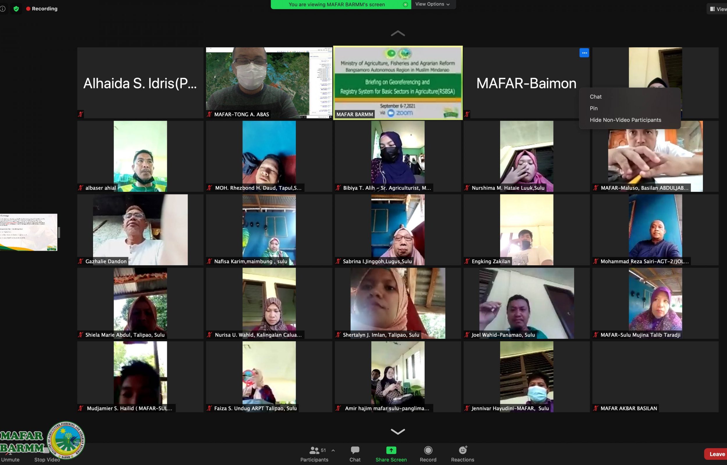
To keep abreast, the extension workers of the Ministry of Agriculture, Fisheries, and Agrarian Reform in the Bangsamoro region on their understanding of the salient features of the geo-referencing and the Registry System for Basic Sectors in Agriculture, a virtual briefing hosted by the said ministry.
It was held on September 6-7, 2021, for the participants from Maguindanao and Lanao del Sur and from Basilan, Sulu, and Tawi-Tawi.
Georeferencing is a scientific tool for determining the exact farm size using an android cellphone.
The RSBSA, on the other hand, is a nationwide registration of farmers and fisherfolks, including their profile and farm information in a database system of the Department of Agriculture-Central Office.
Director II for Agricultural Services Engr. Ismail Guiamel said in his message that geo-referencing and the registration of farmers and fisherfolks in a database system are very important as a requirement in the delivery of agricultural interventions to its clientele as the Bangsamoro government has been invoking transparency and moral governance.
Meanwhile, Chief Agriculturist Tong Abas said that to date, more than 40,000 hectares of farm lots have been georeferenced in Maguindanao province and the Special Geographical Area in Cotabato province and 1,552 farmers and fisherfolks in the region were registered in the database system.
The resource persons in the said virtual briefing include Krizteen Ruffa Gaylan and Baimon Alagasi for the georeferencing and Binbadz Tending and Norhaina Musanip for the RSBSA.
Gaylan and Alagasi discussed the concept and procedure of using georeferencing. Tending and Musanip explained to the participants how to answer the questions accurately in the RSBSA form.


