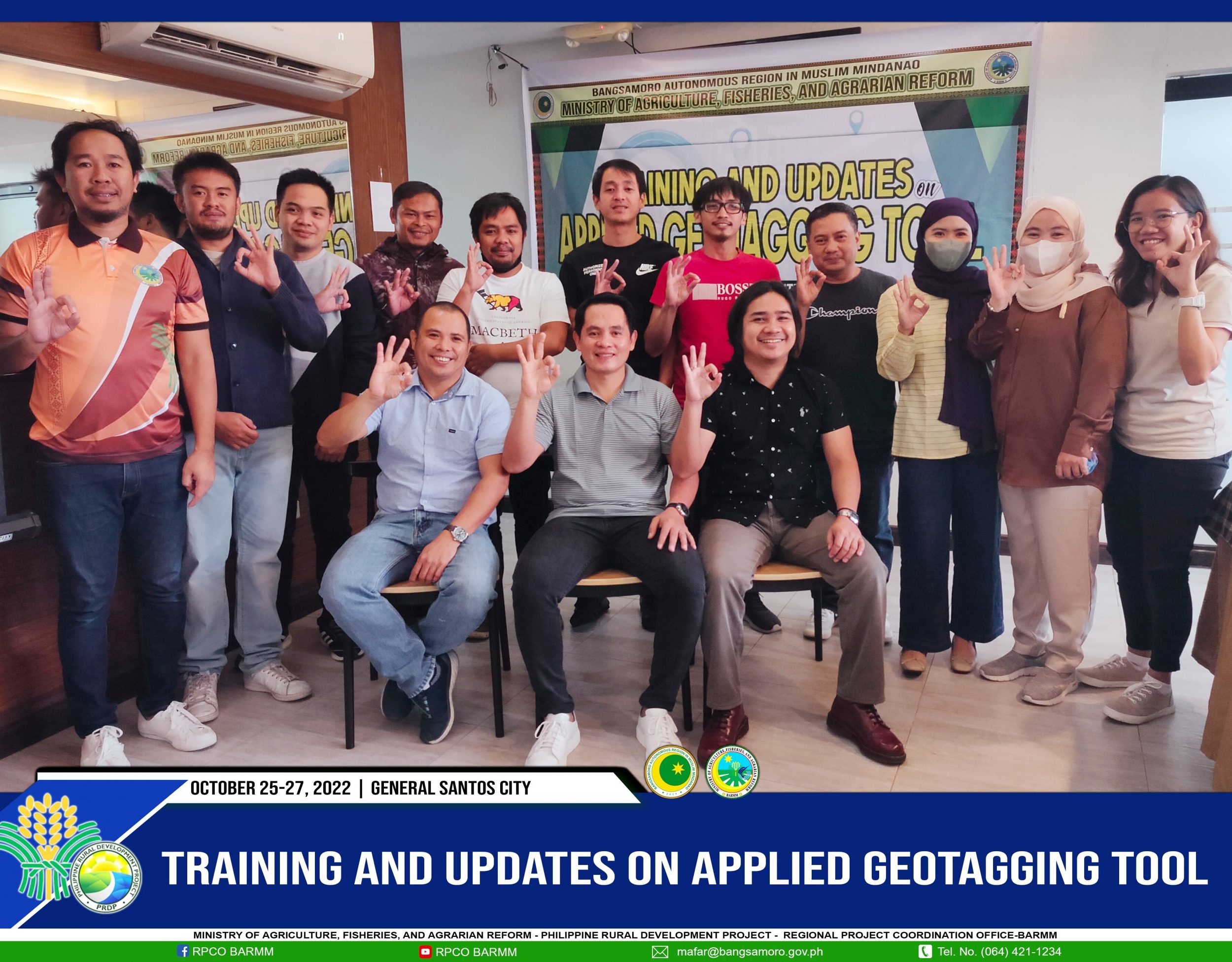
LGU of Maguindanao, LDS undergoes training on the geotagging tool
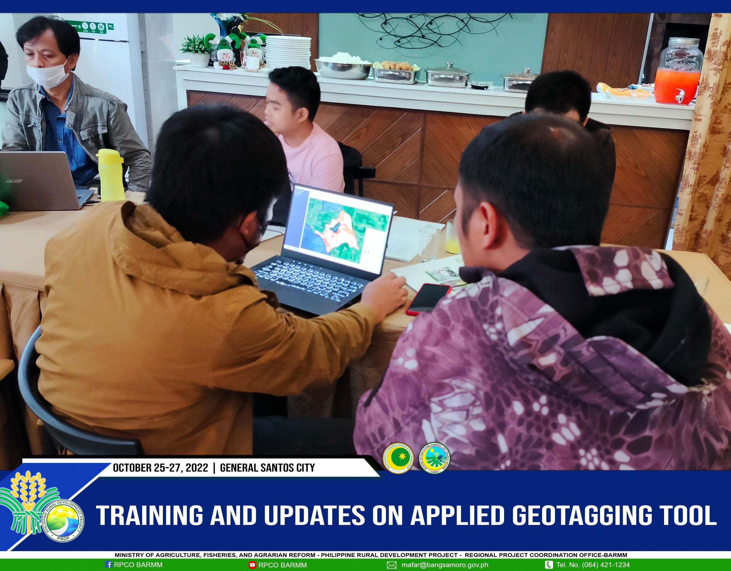
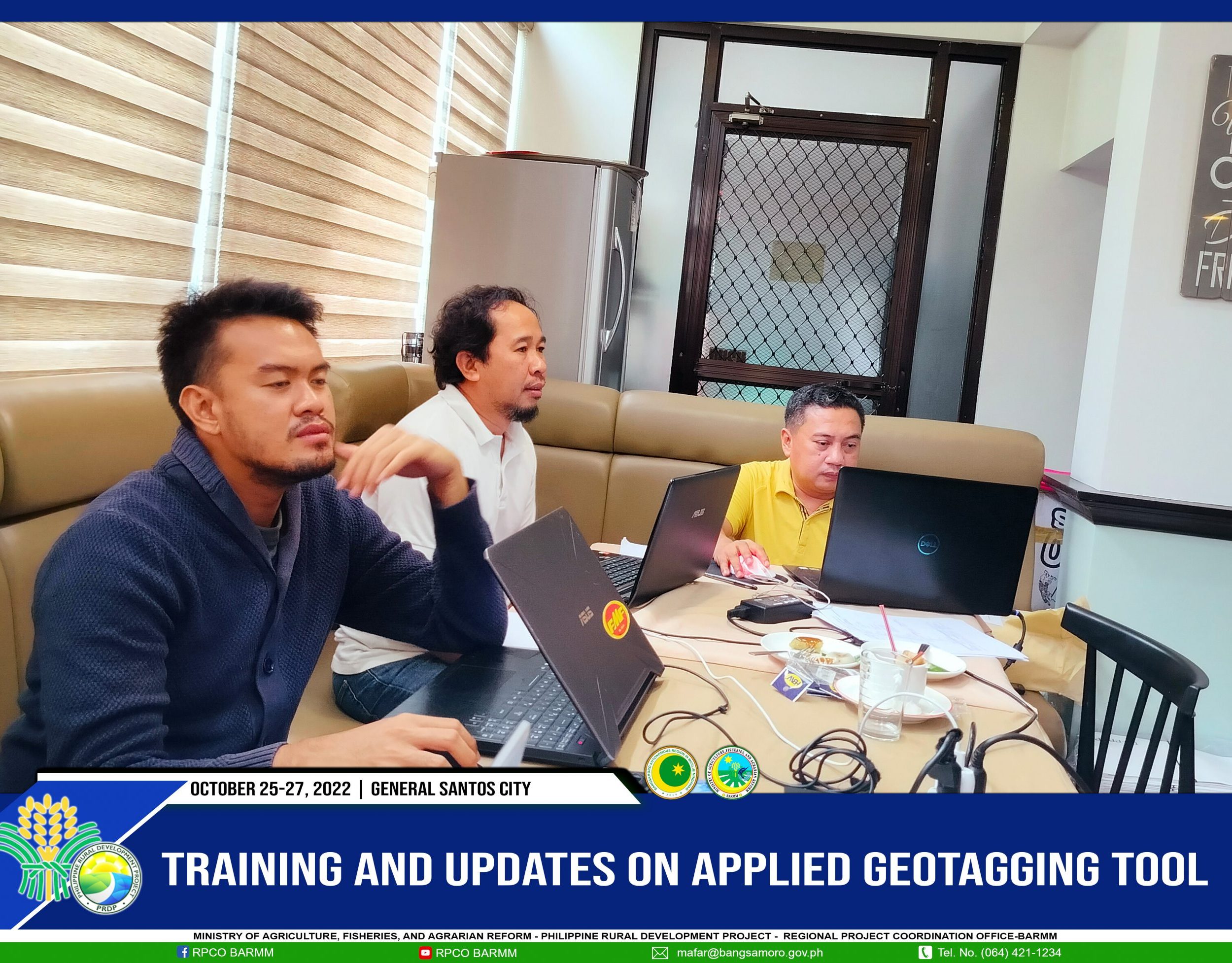
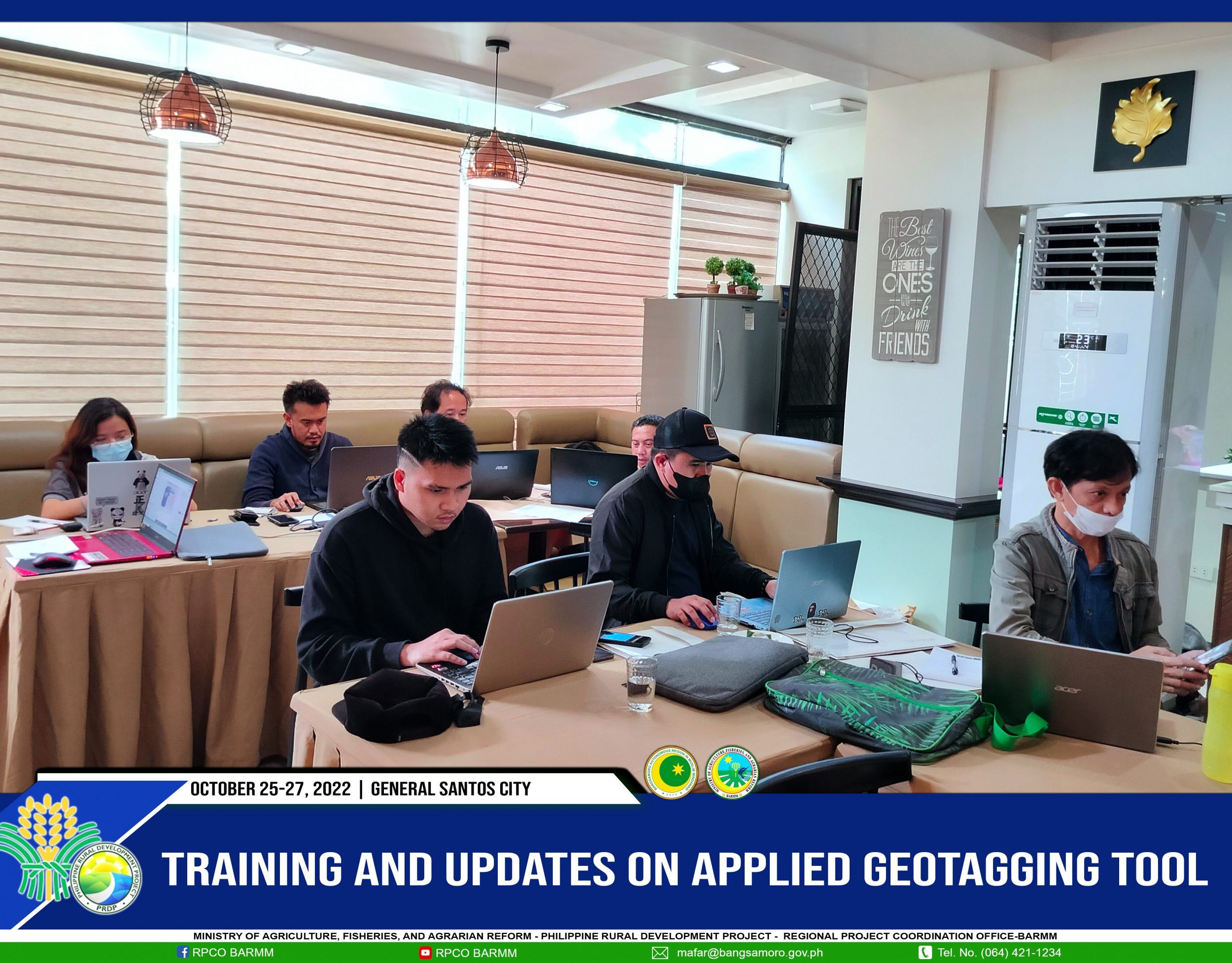
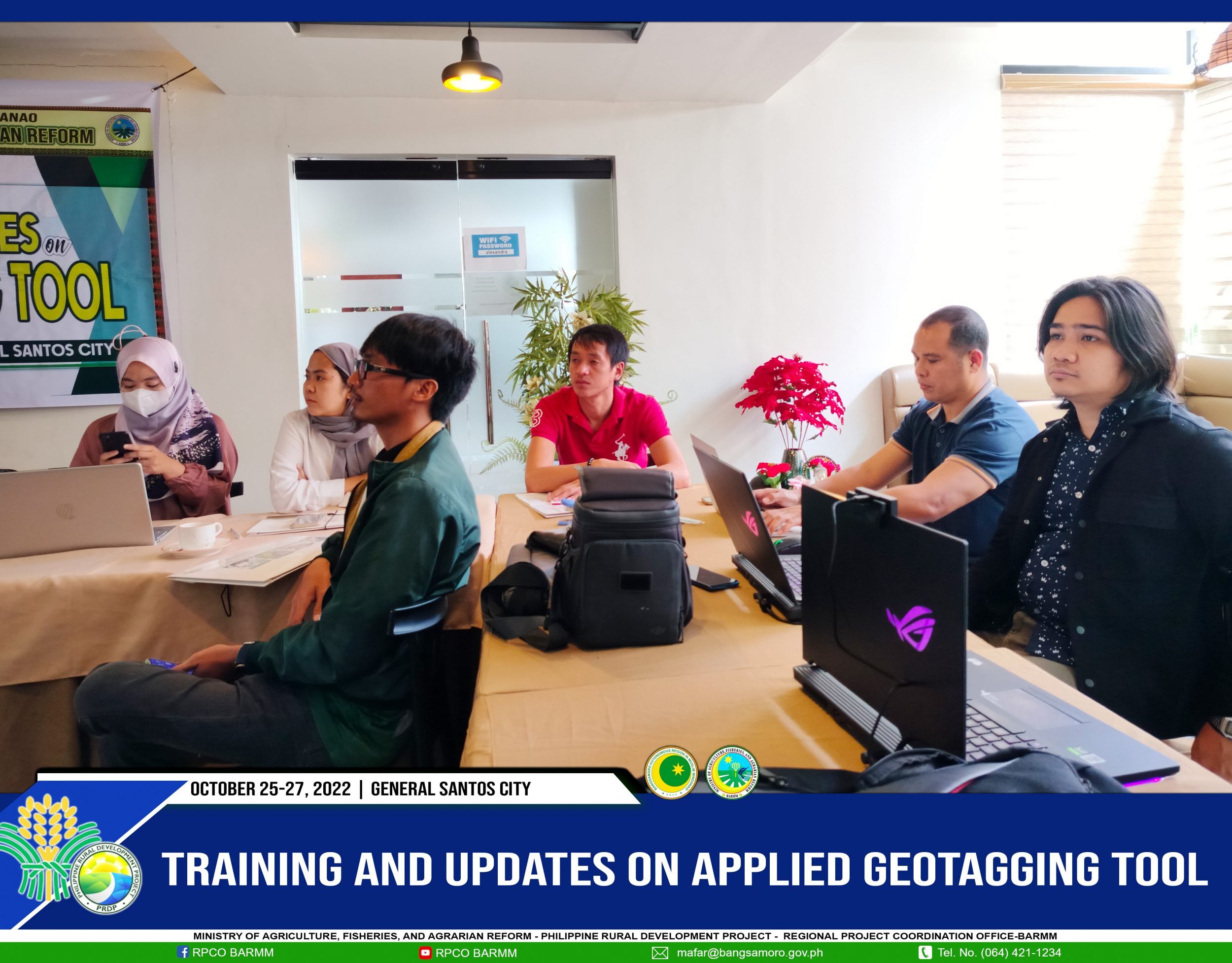
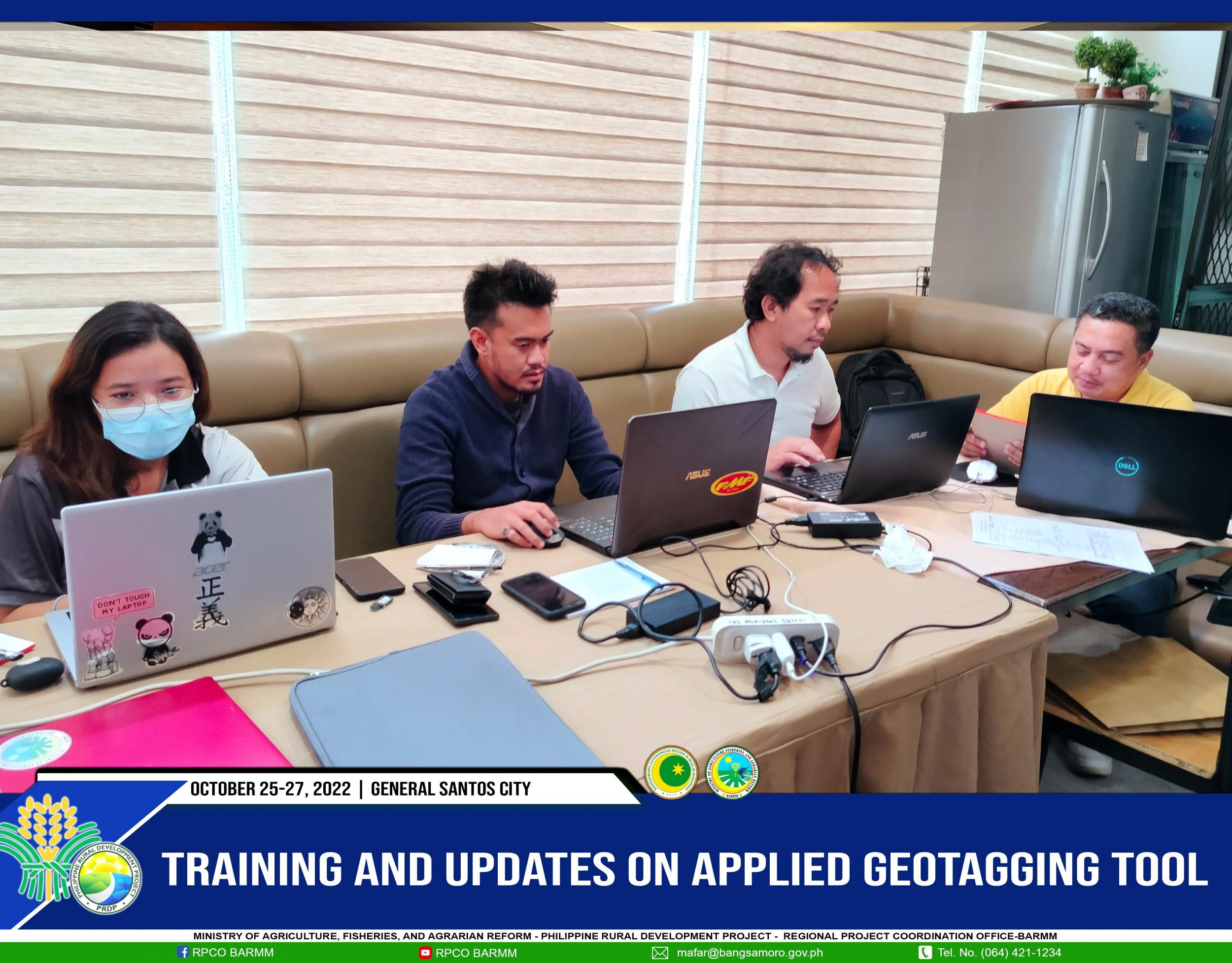
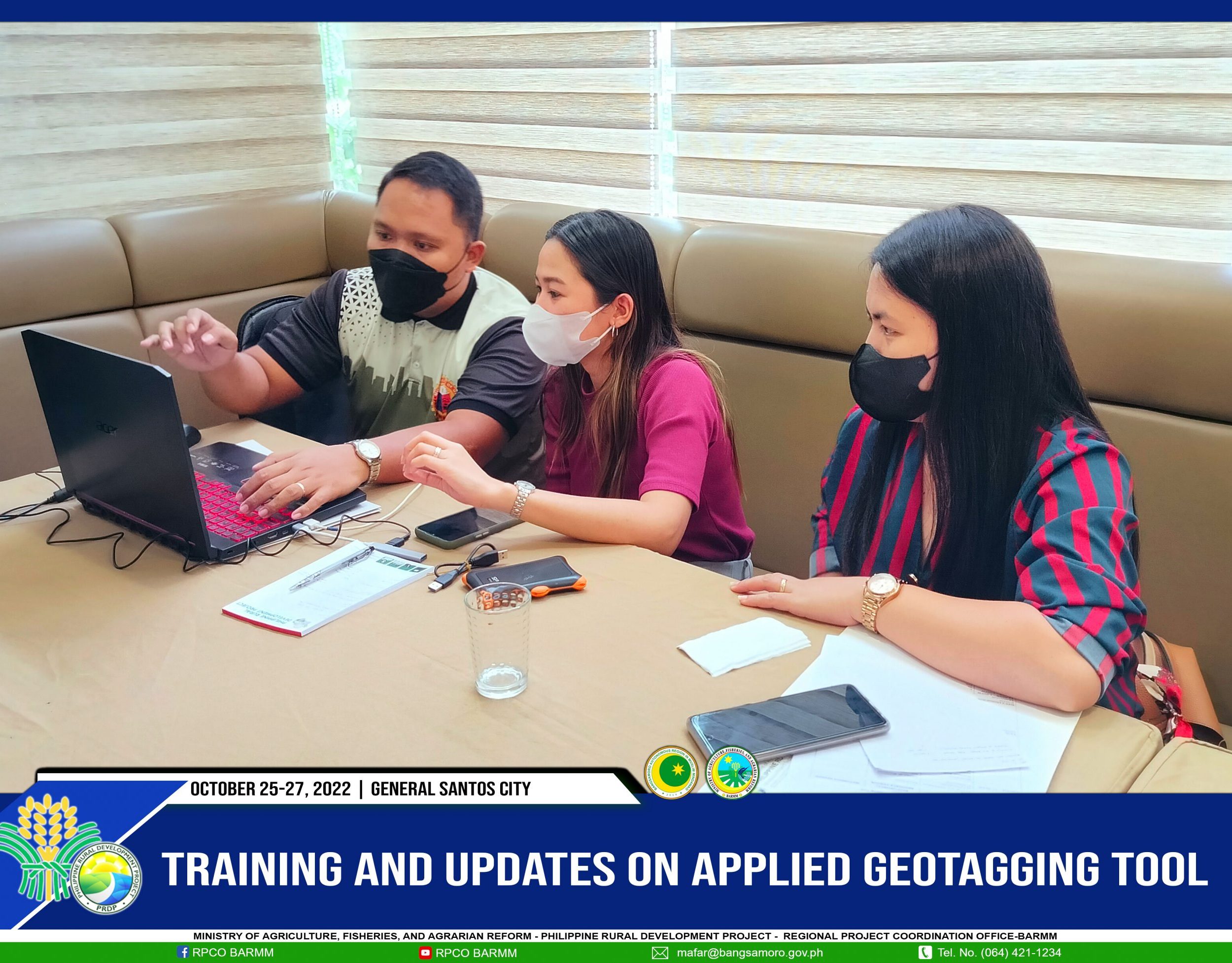
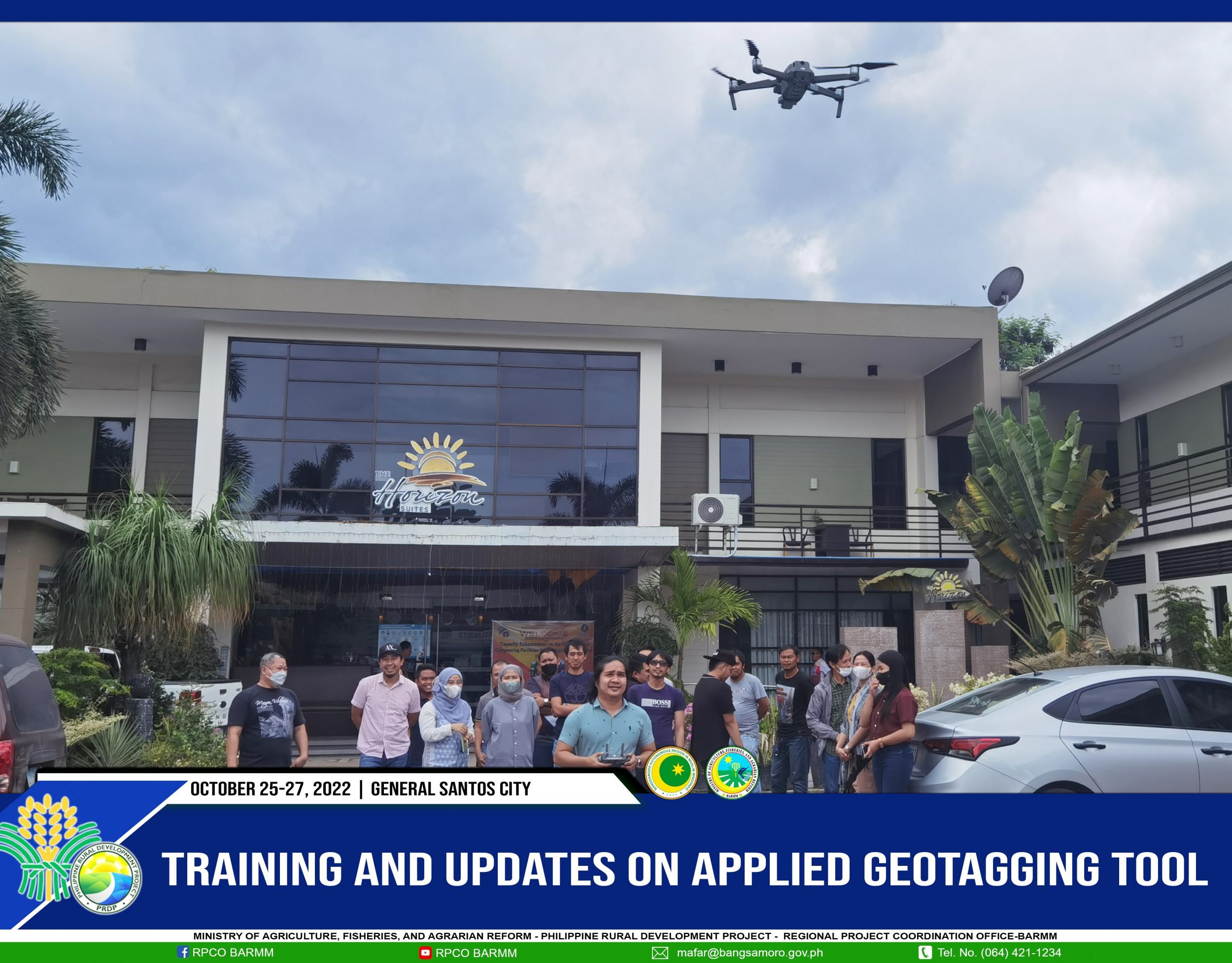
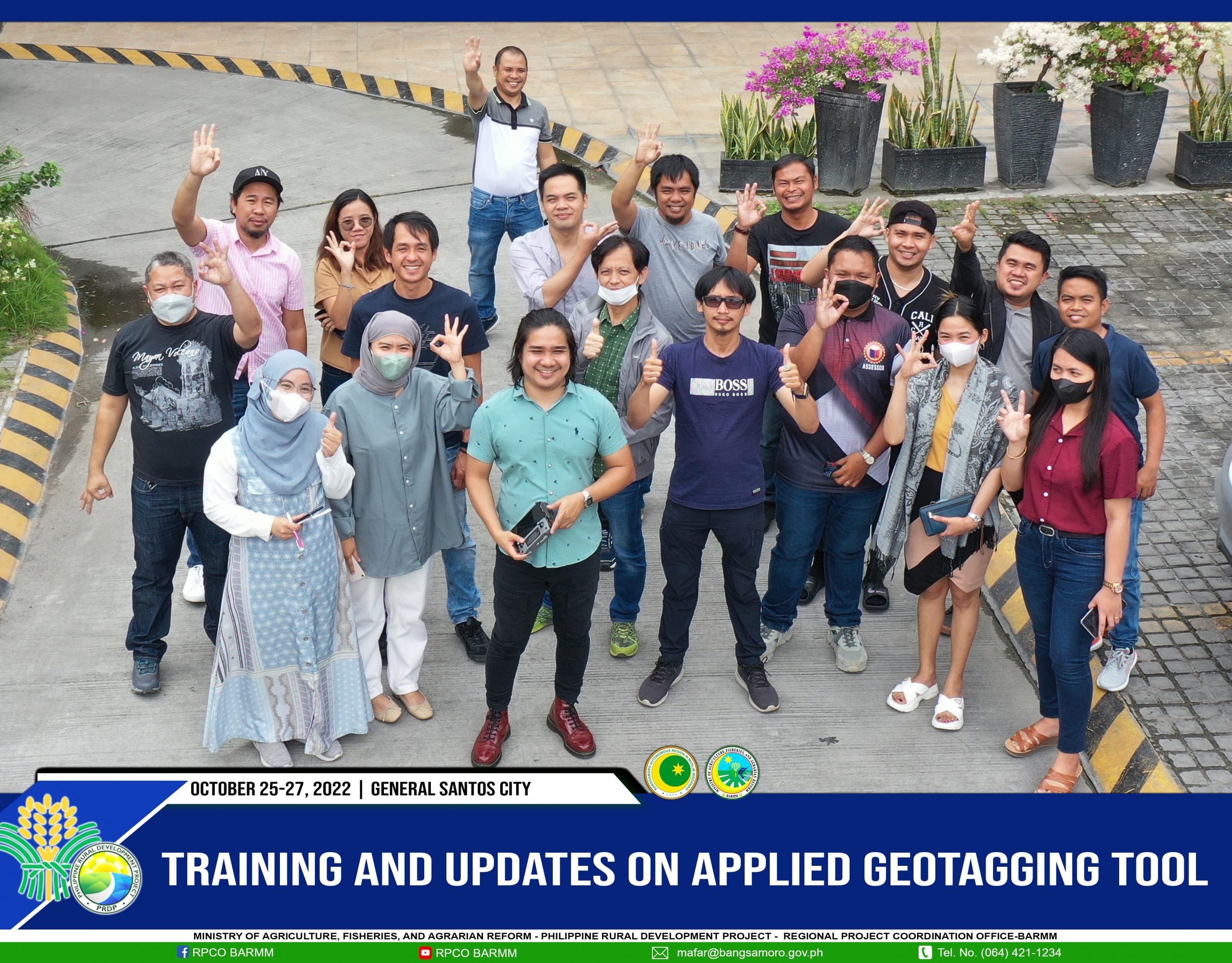
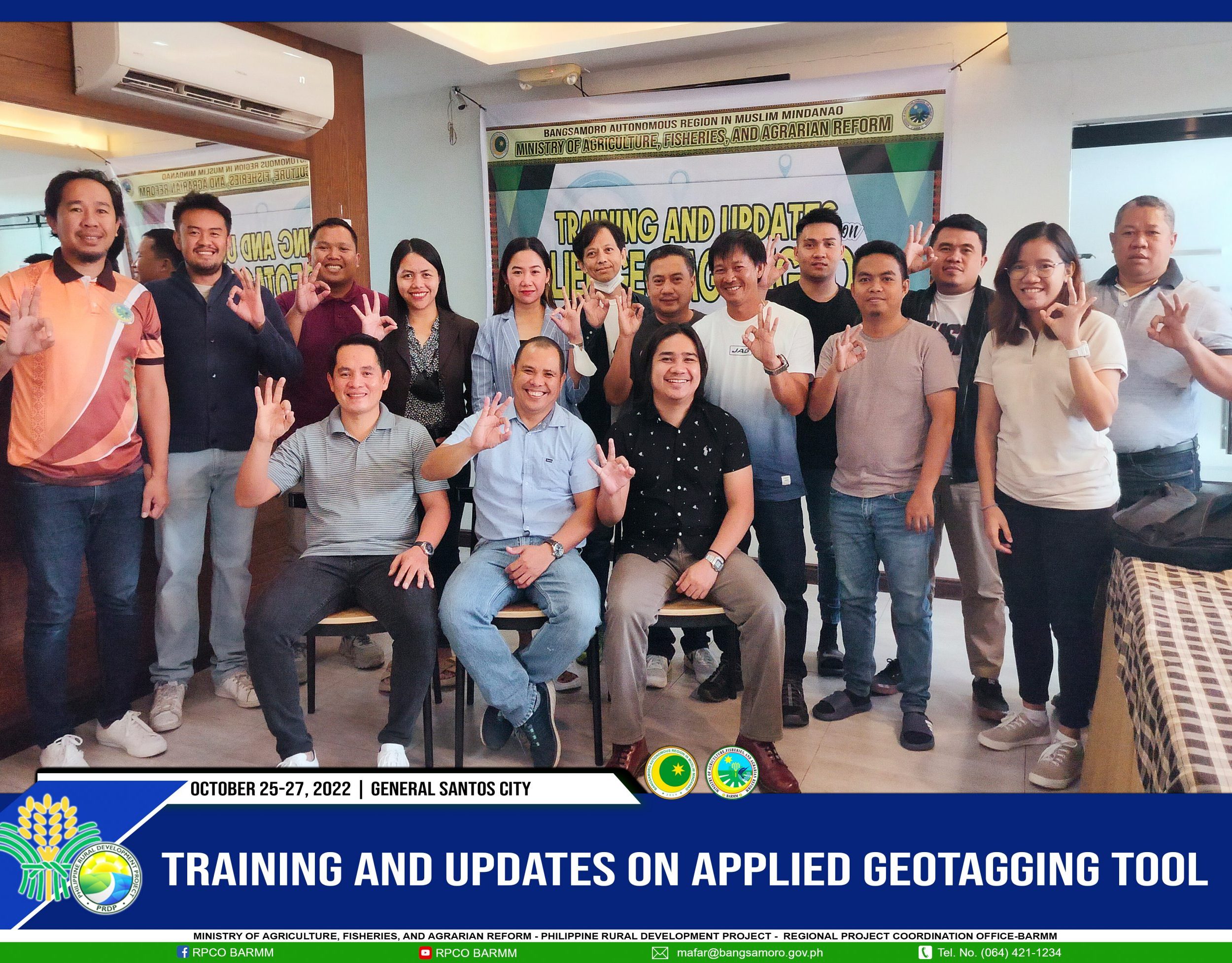
The MAFAR-PRDP Regional Project Coordination Office BARMM conducted the 3-day Training and Updates on Applied Geotagging Tool for the Provincial and Municipal Local Government Unit of Maguindanao and Lanao Del Sur on October 25-27, held at Horizon Suits Hotel, General Santos City.
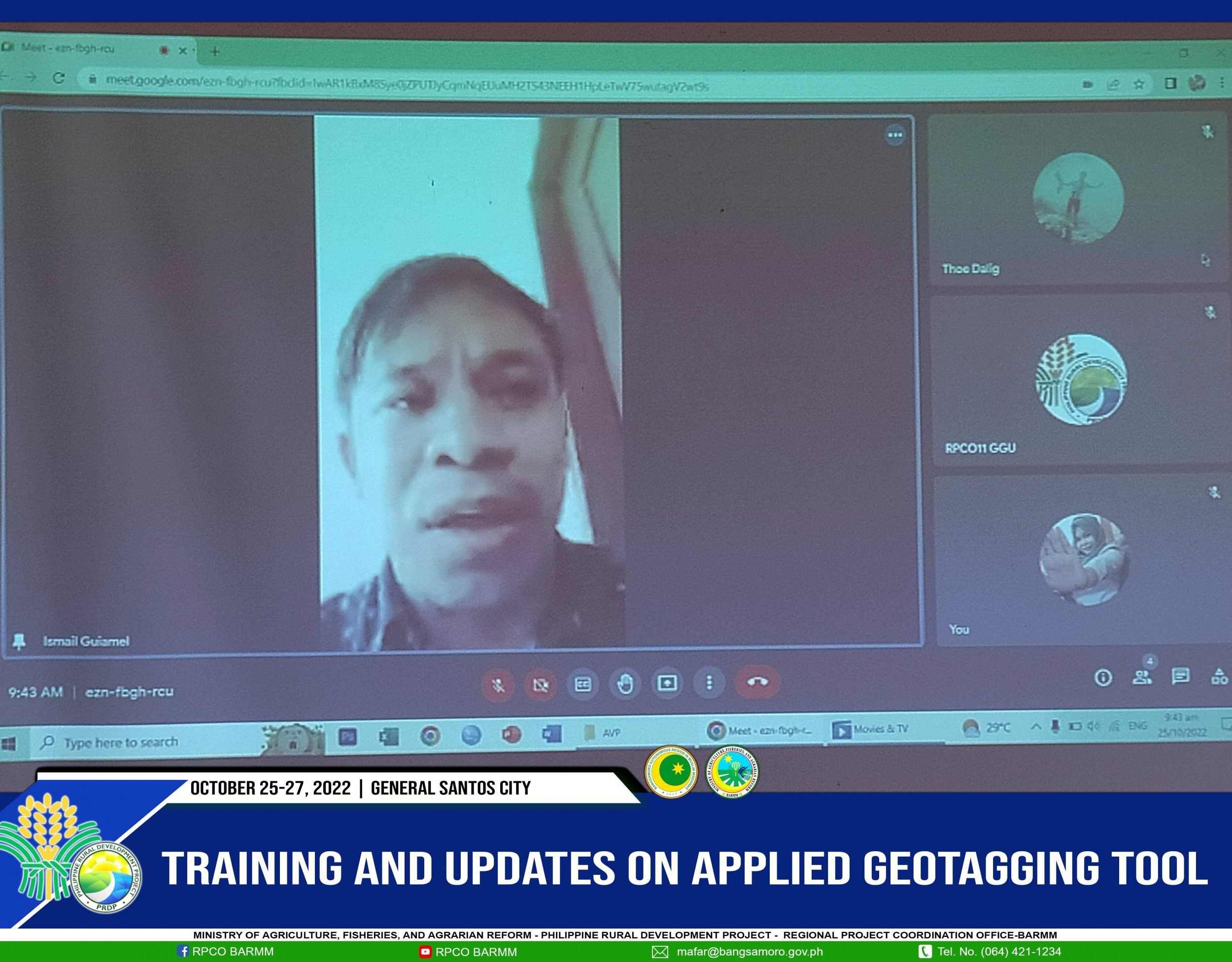
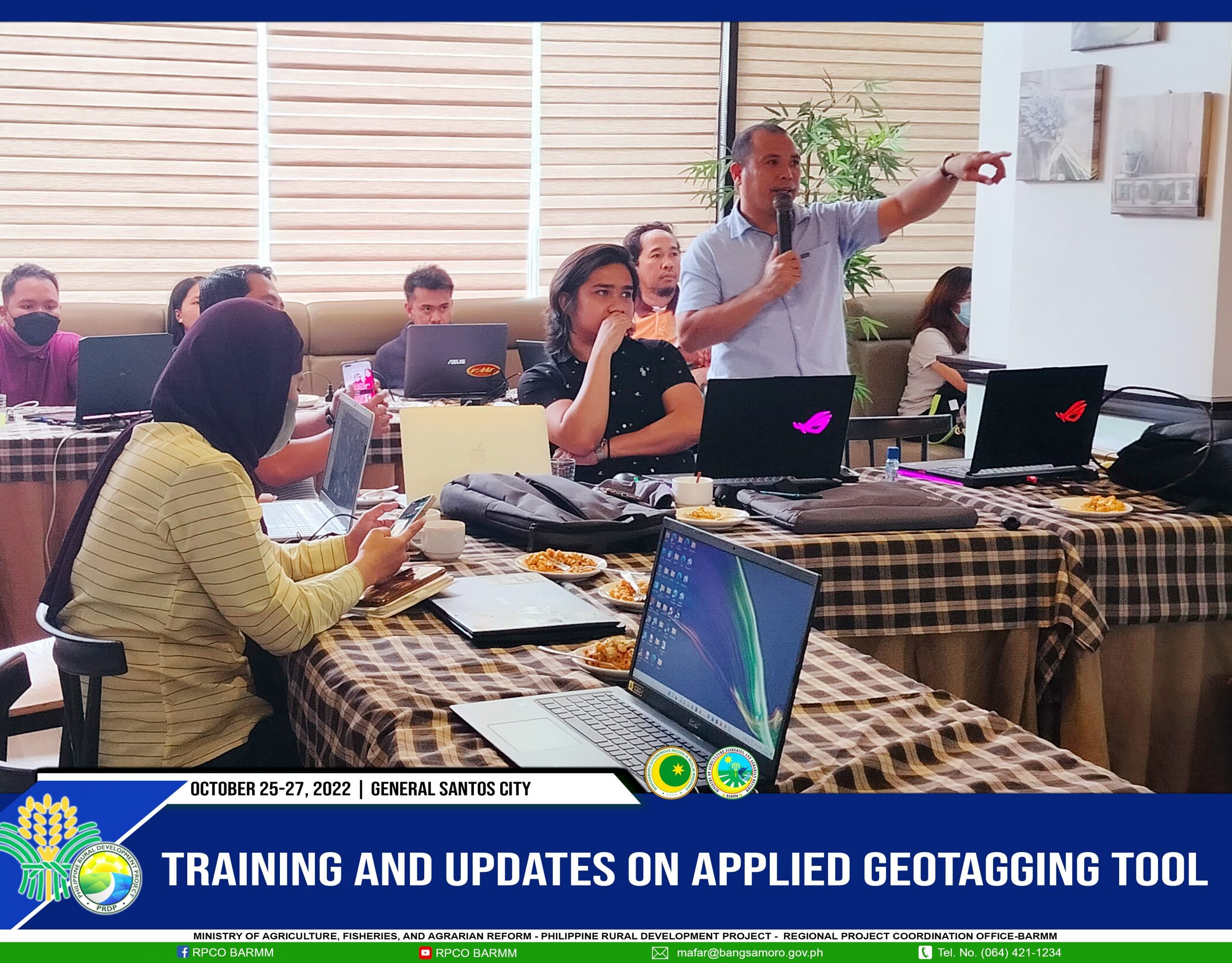
Engr. Ismail A. Guiamel, Director II for Agriculture Services, graces the activity and encourages the participants to take the opportunity to learn the AGT to enhance their skills and work for the Bangsamoro People.
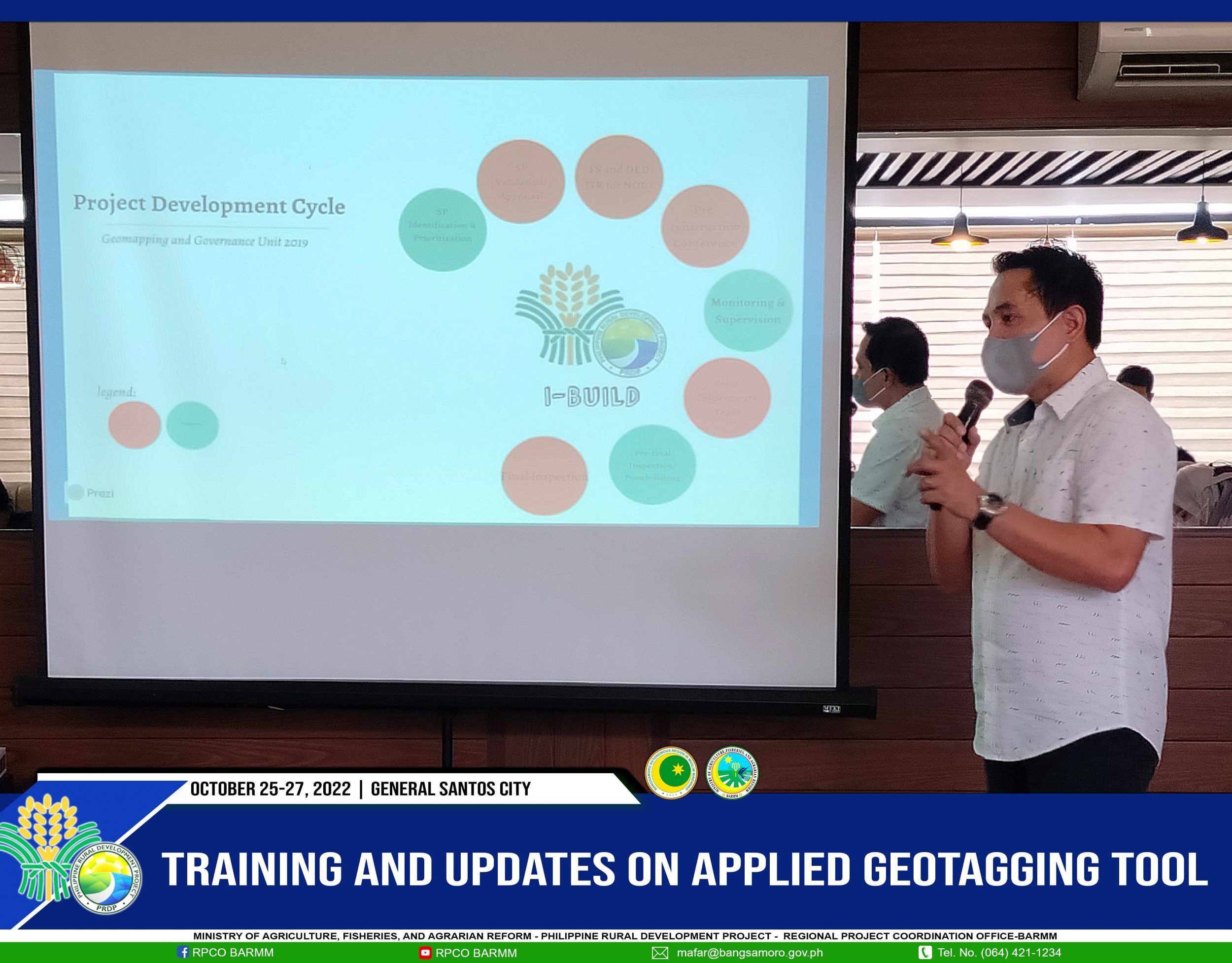
Suharto H. Dalig gave an overview of the activity and presented updates on implementing the geomapping activities in the region.
Dalig also emphasized the importance of the participation of the Geomapping and Governance Unit (GGU) in the approval of every proposed subproject.
“This training aims to capacitate the technical skills of LGU and the contractors on geotagging to build transparent mechanisms for project implementation,’ said Dalig.
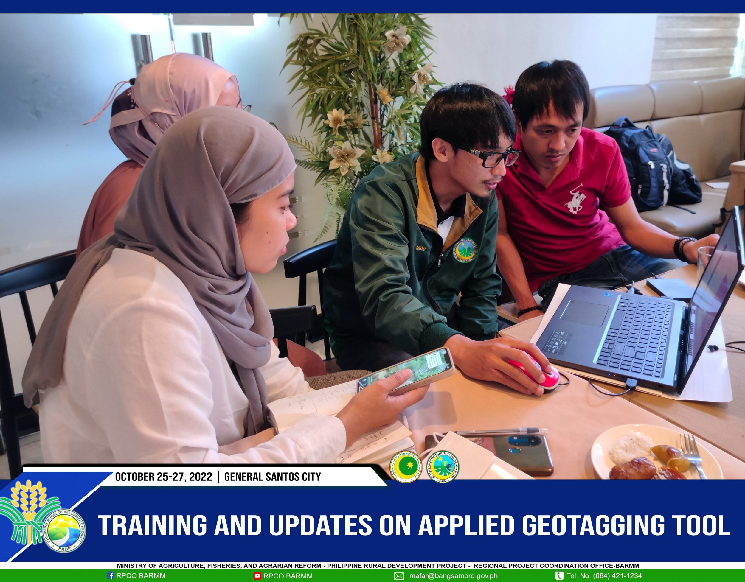
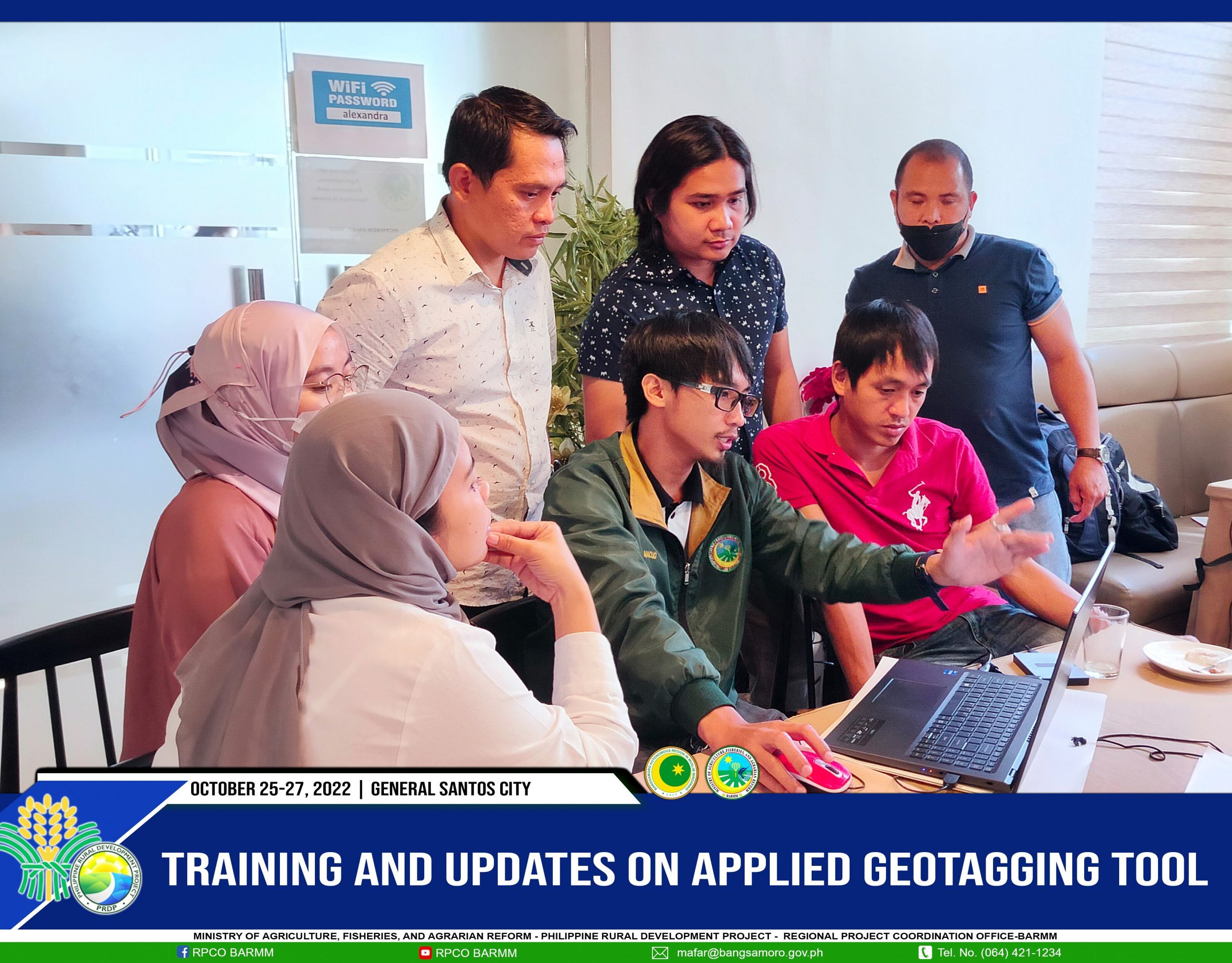
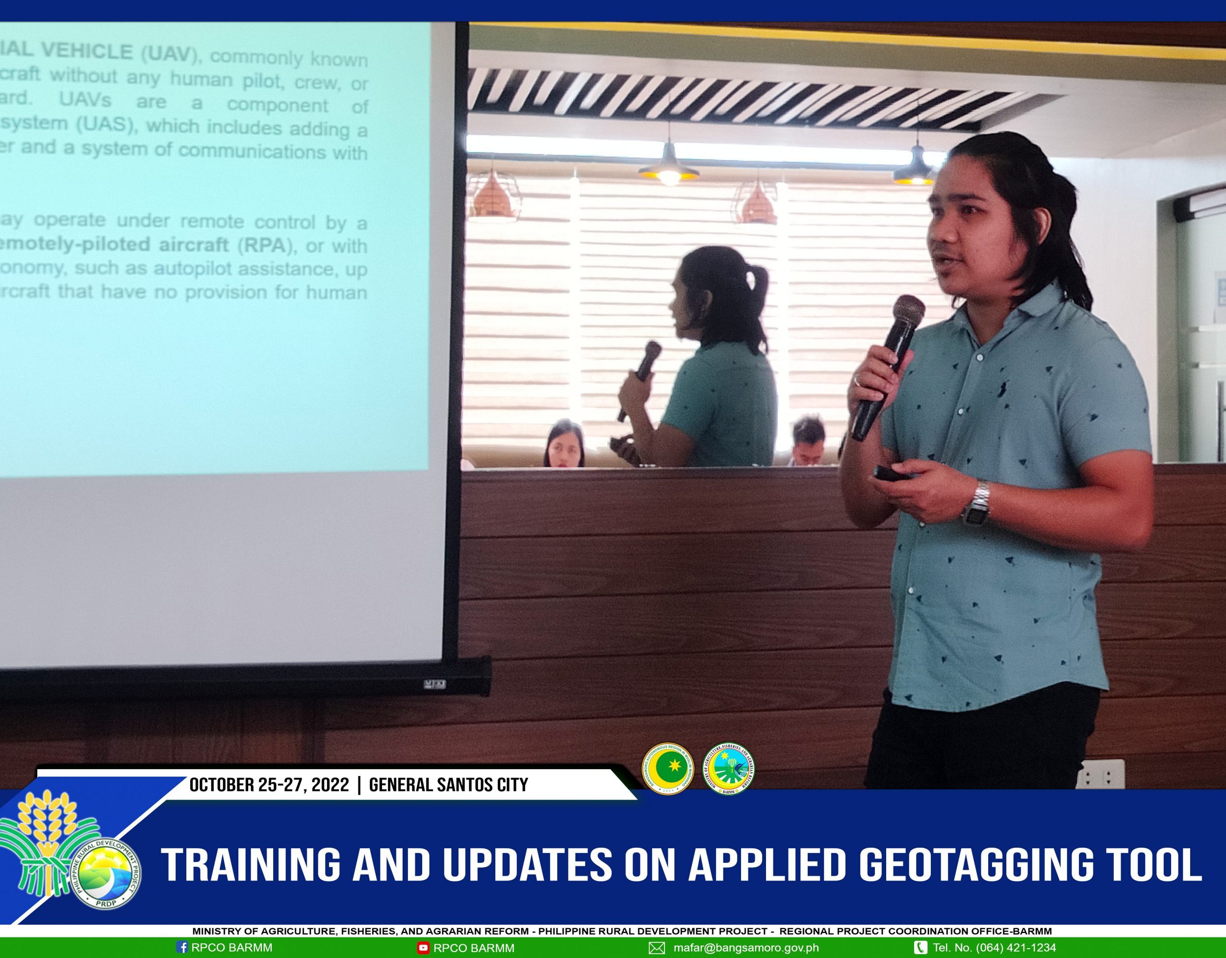
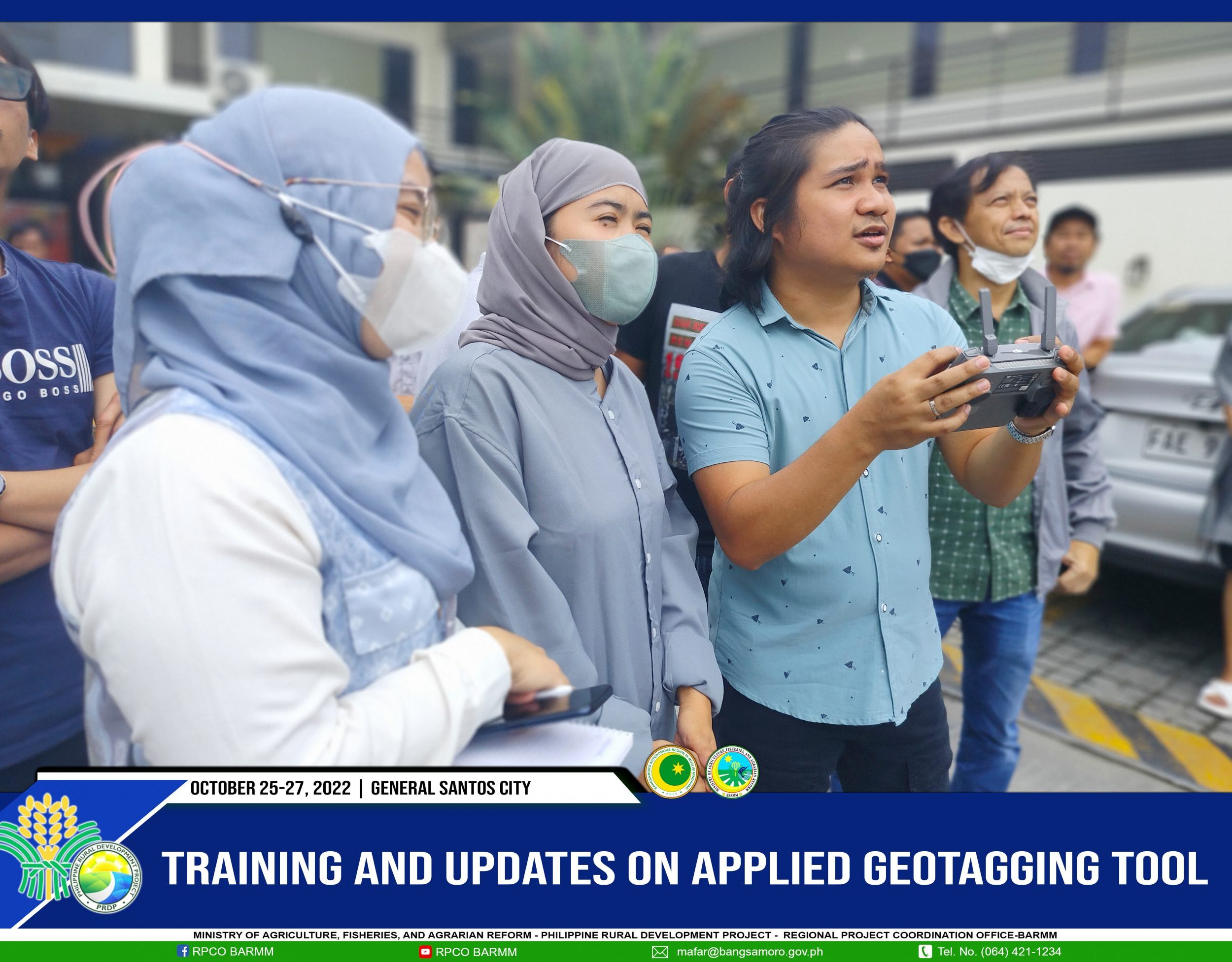
The 3-day activity runs with the presentation, tutorial, and workshop on the Applied Geotagging Tools (such as PRDP Camera Apps, RIA, EVSA, Open source GIS, and UAV).
Moreover, Jovito L. Liberato, GIS Data Officer from the Project Support Office Mindanao, and Josephdon Anthony F. Anchecta serve as resource speakers during the training.

