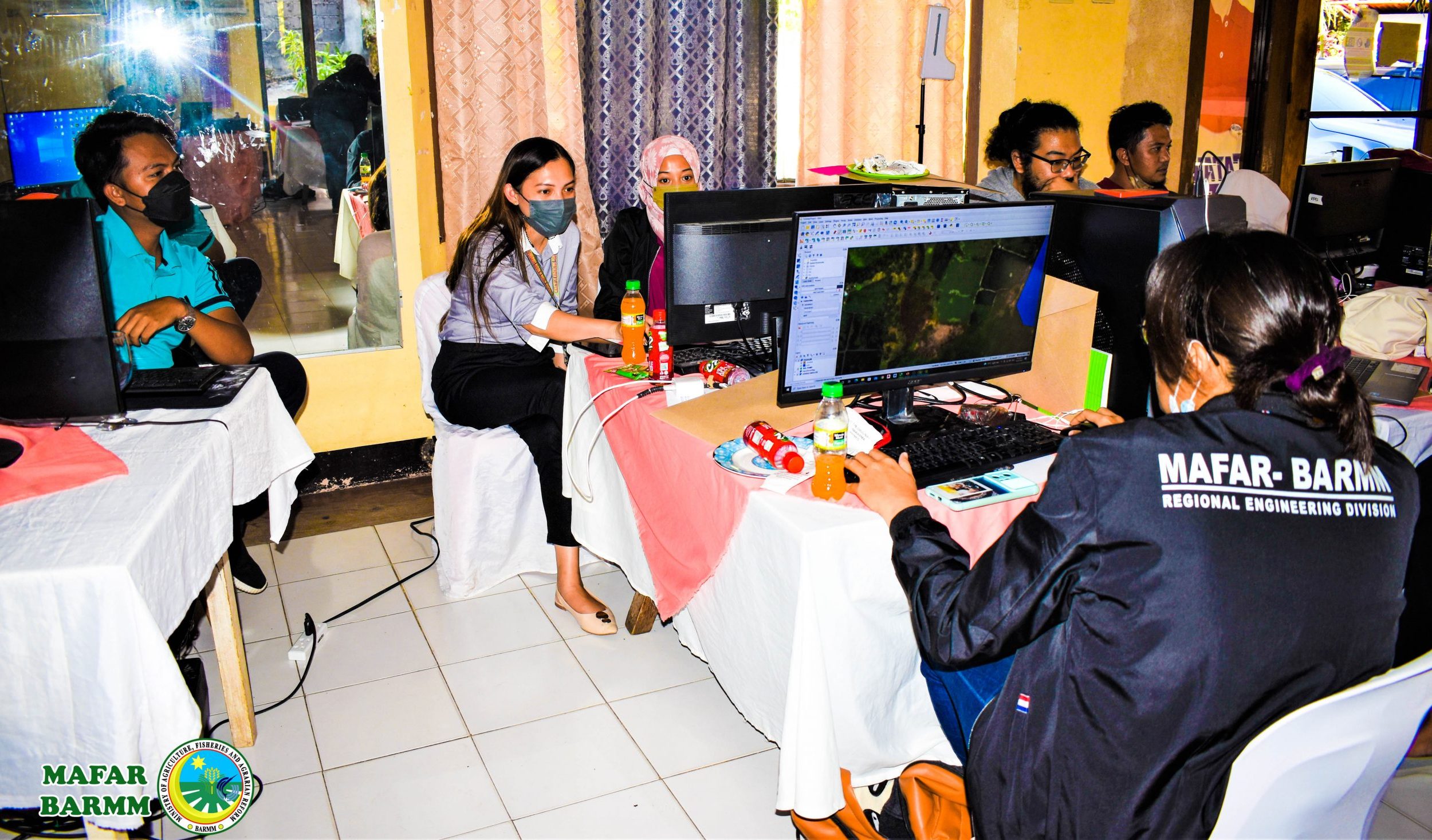
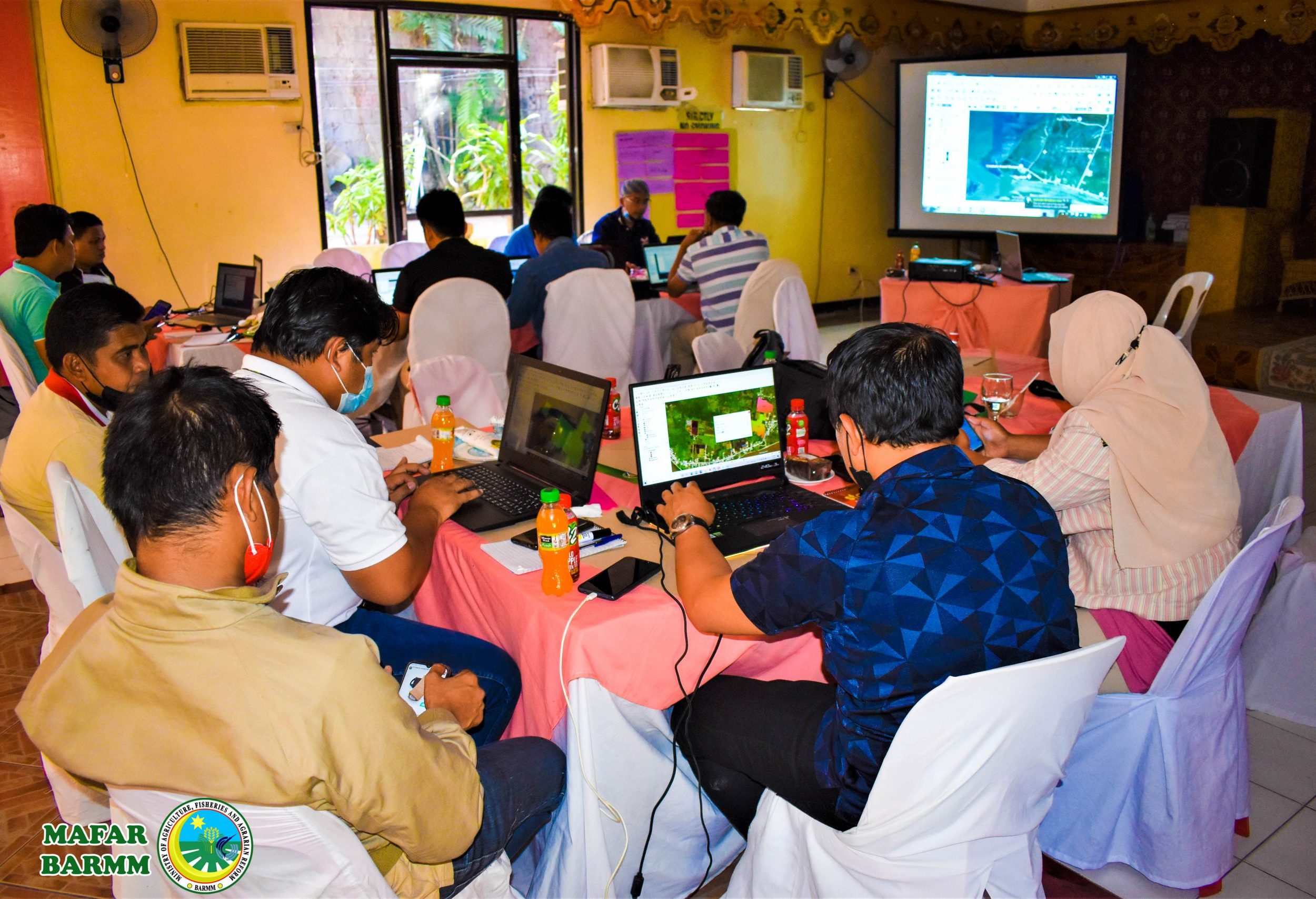
MAFAR conducts geotagging for Agricultural Infrastructure training in the region
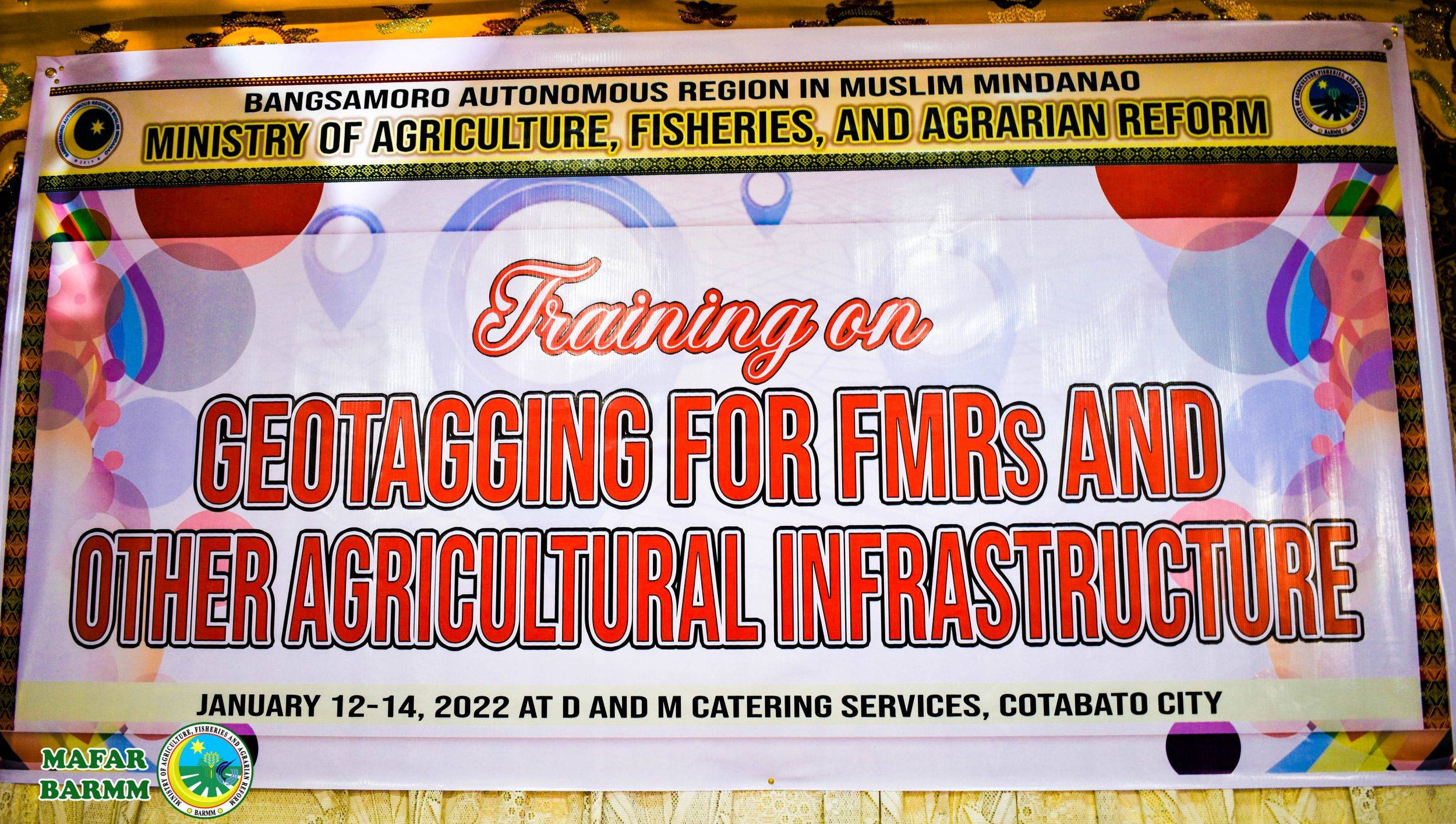
COTABATO CITY – The Ministry of Agriculture, Fisheries, and Agrarian Reform -Engineering Section has conducted a training on geotagging for Farm-to-Market Road and other infrastructure projects to its employees on January 12-14.
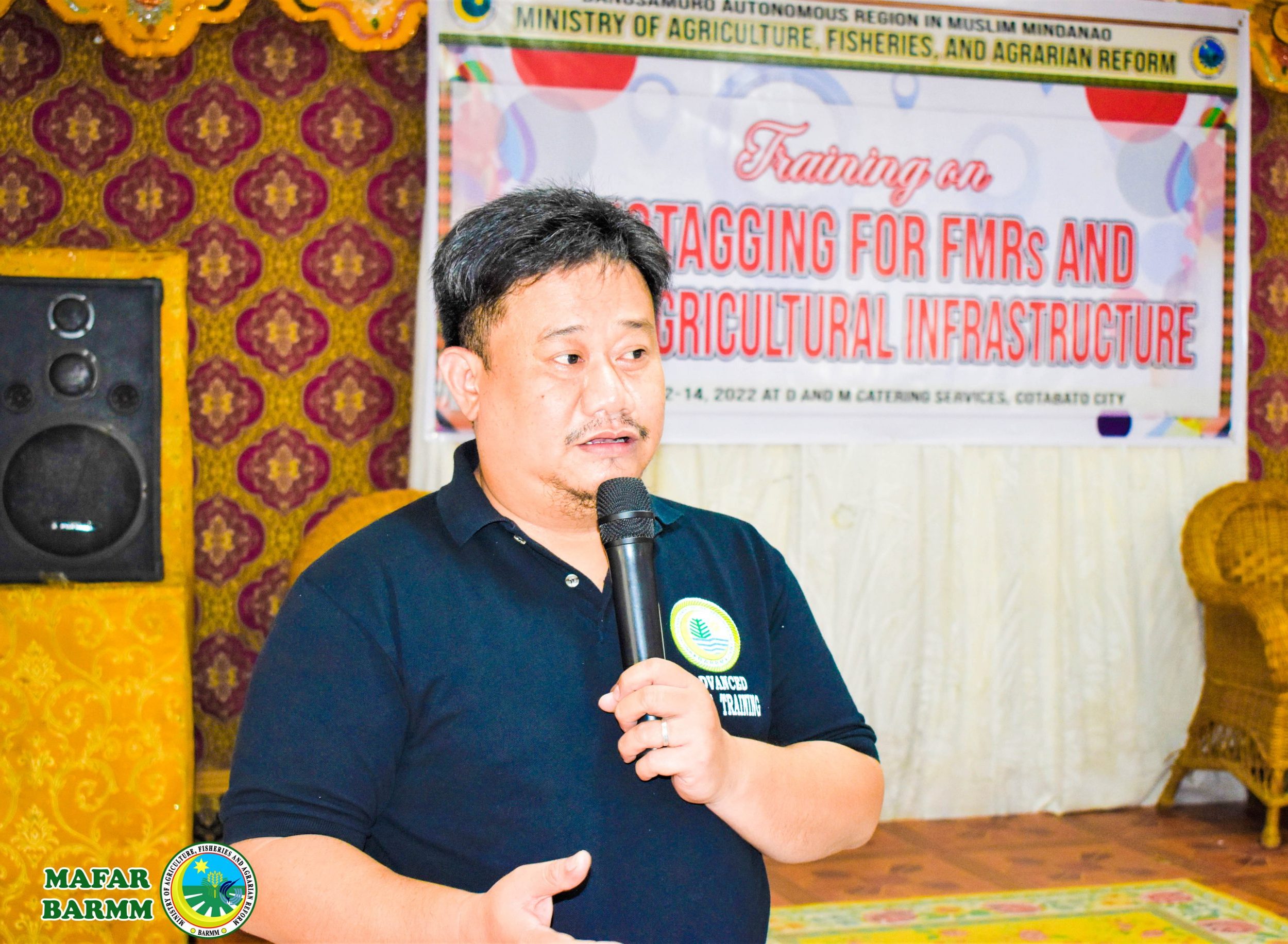
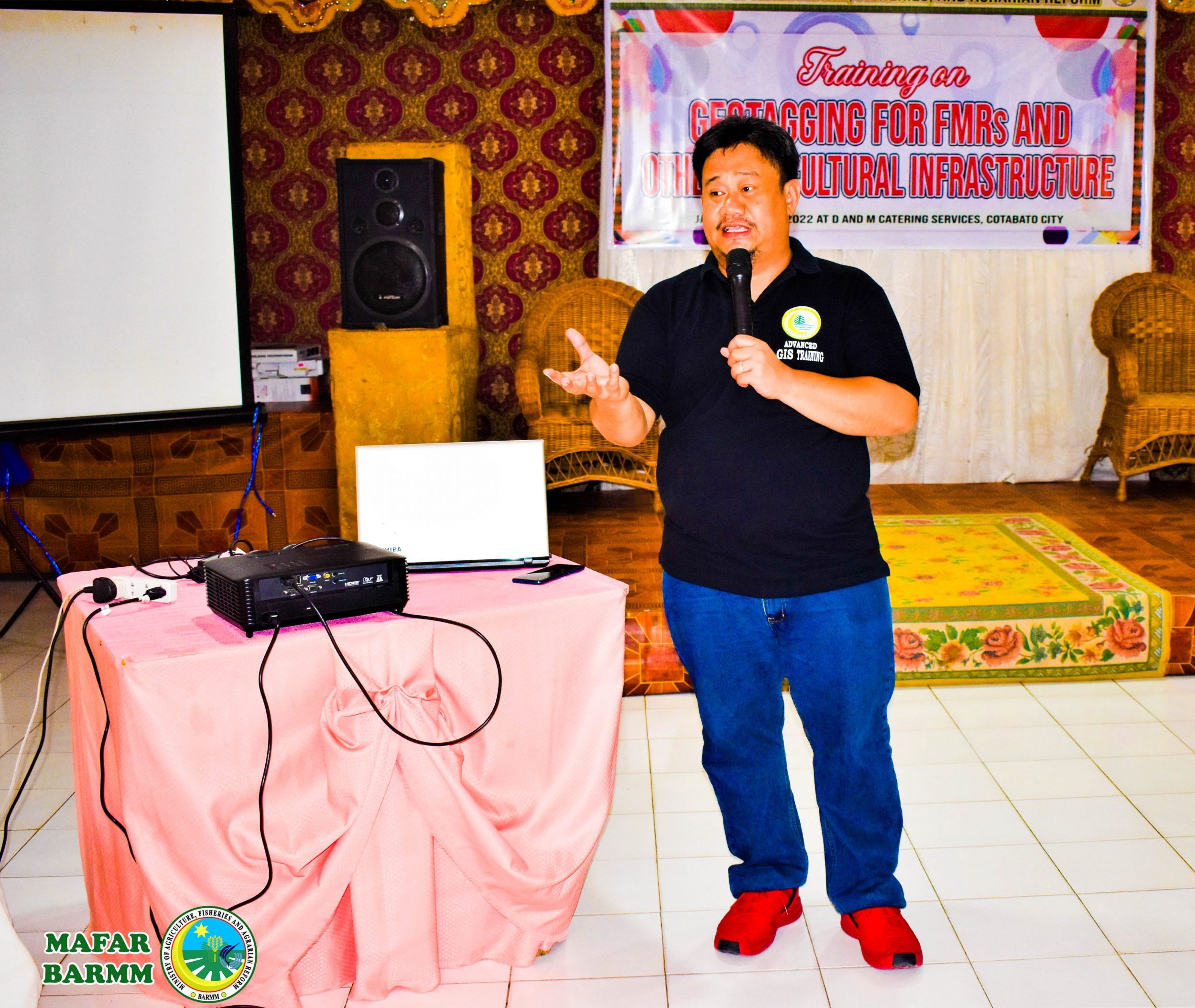
Chief of Engineering Section Ashnaira Abdullah said the training intends to orient the participants on the efficient government project monitoring in the region.
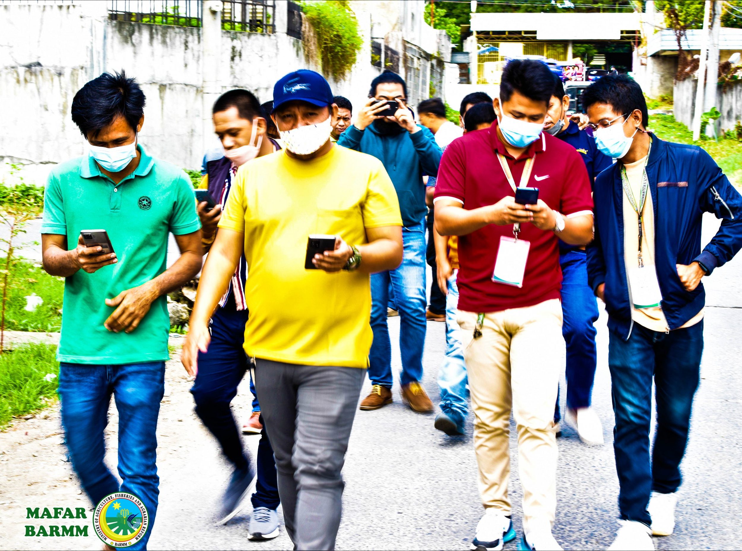
Geotagging, as described, is the process of adding metadata and geographical information to the physical or site location of government infrastructure projects and uploading them to a web-based application.
Abdullah said it also includes the project’s name, location, and cost to allow the public and netizens to check the progress of projects in real-time.
“Geotagging of all infrastructure projects of the agency will allow for more effective policy-making, improve the planning and programming of development projects, cumulative location of development projects, and track and monitor the progress of government projects,” she said in her explanatory note.
In 2020, the MAFAR-BARMM required mandatory geotagging of all infrastructure projects to serve as a transparency mechanism that allows the citizens to monitor developments in their communities, and avoid duplication and overlapping infrastructure projects.
“It will also allow the government agencies to determine which areas are receiving agricultural development projects,” she said.

