MAFAR holds training on the use of Geomatics Engineering
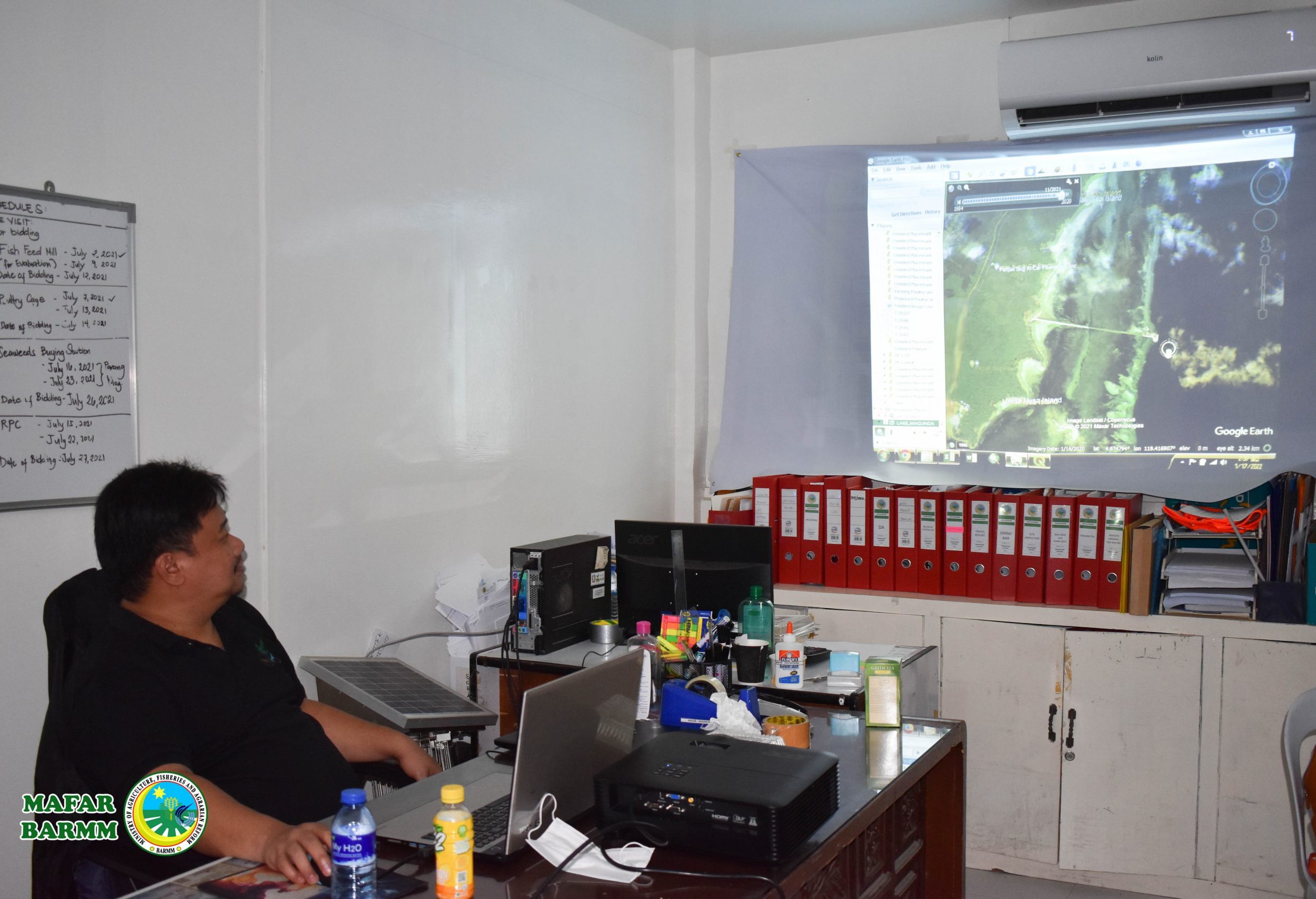
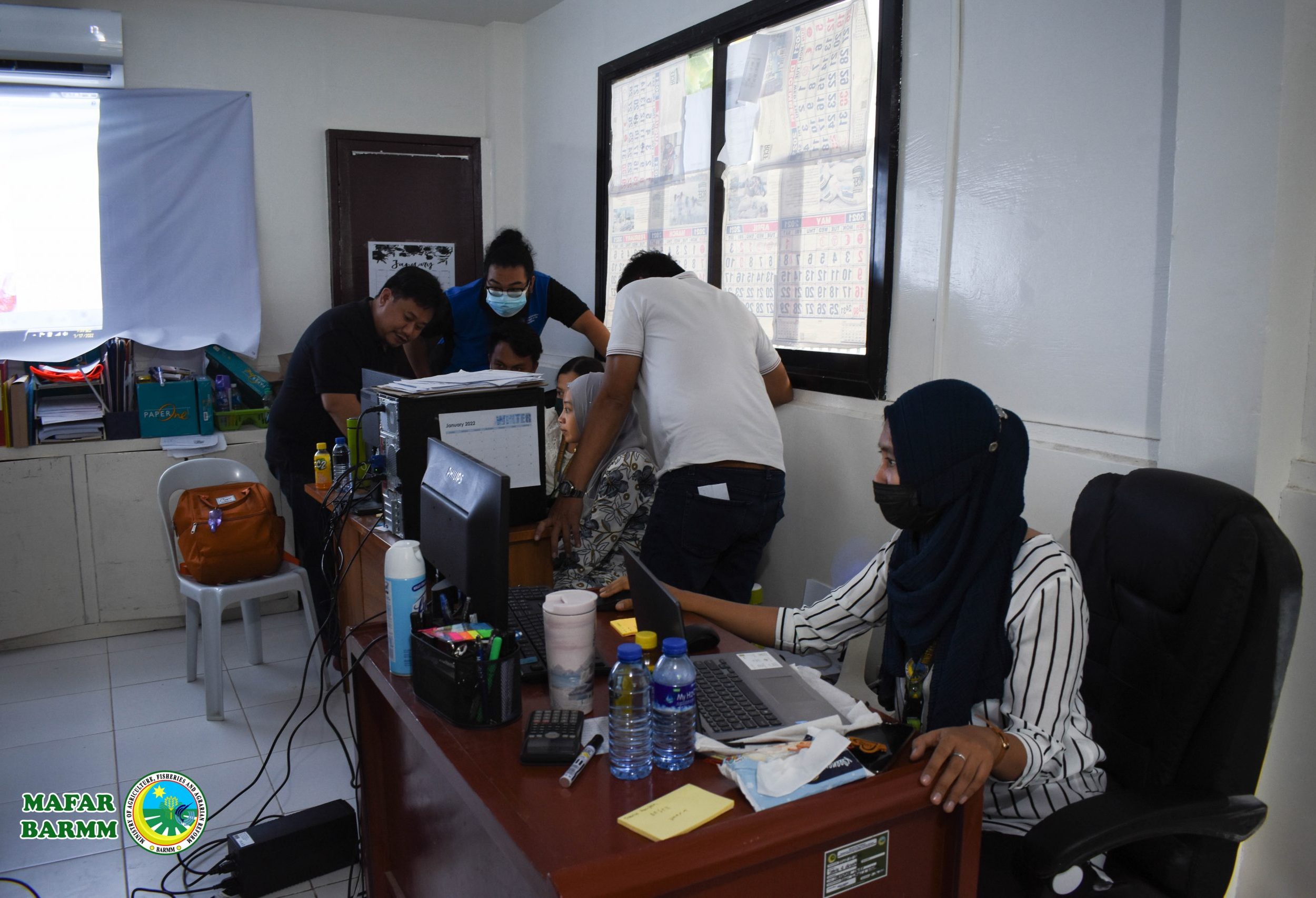
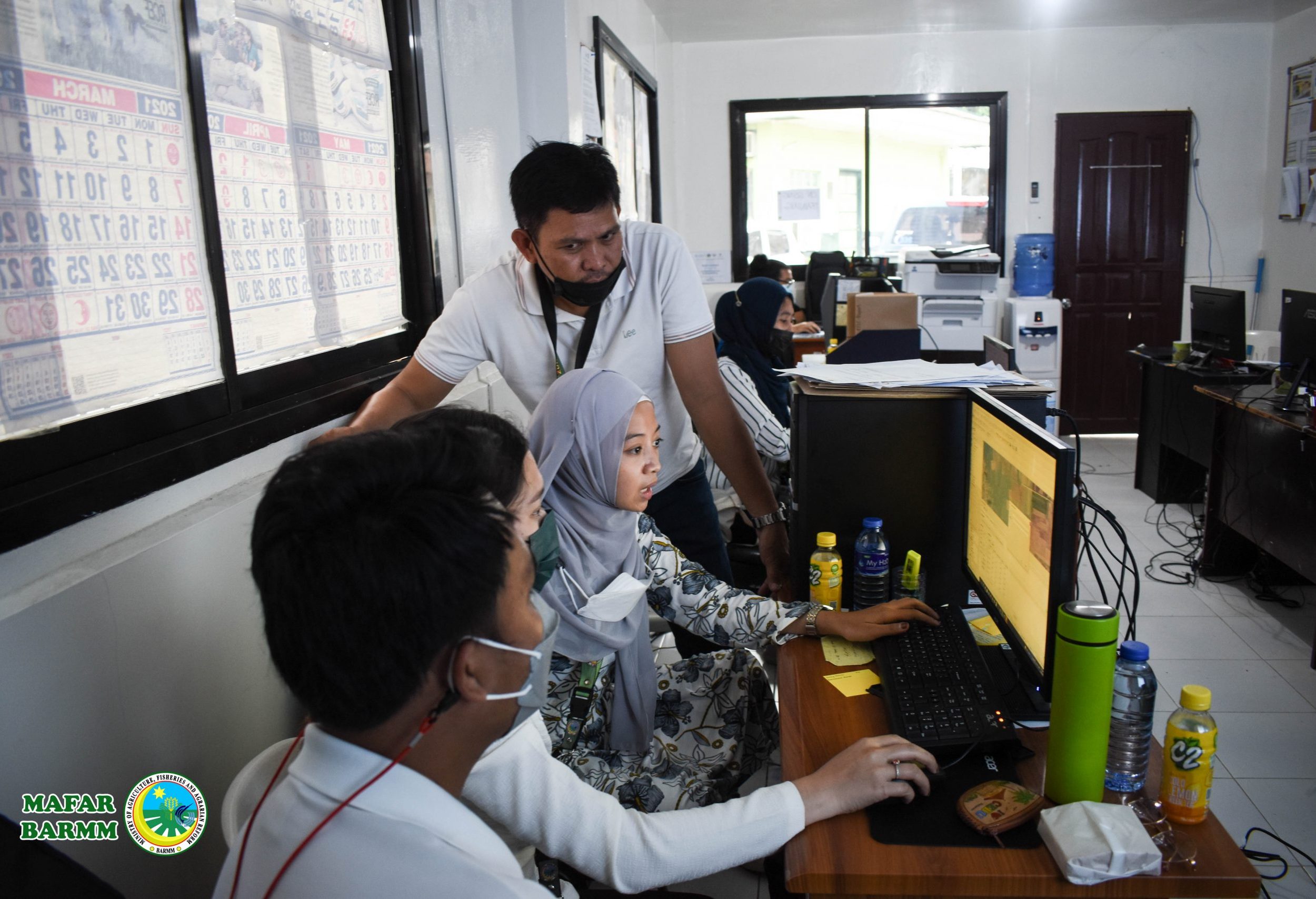
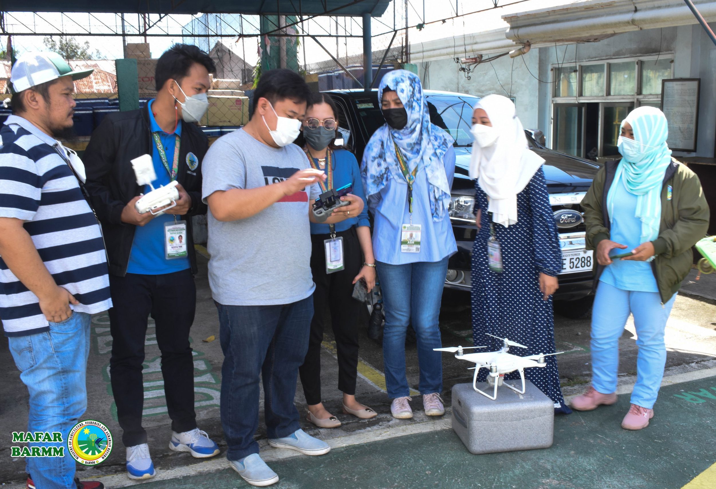
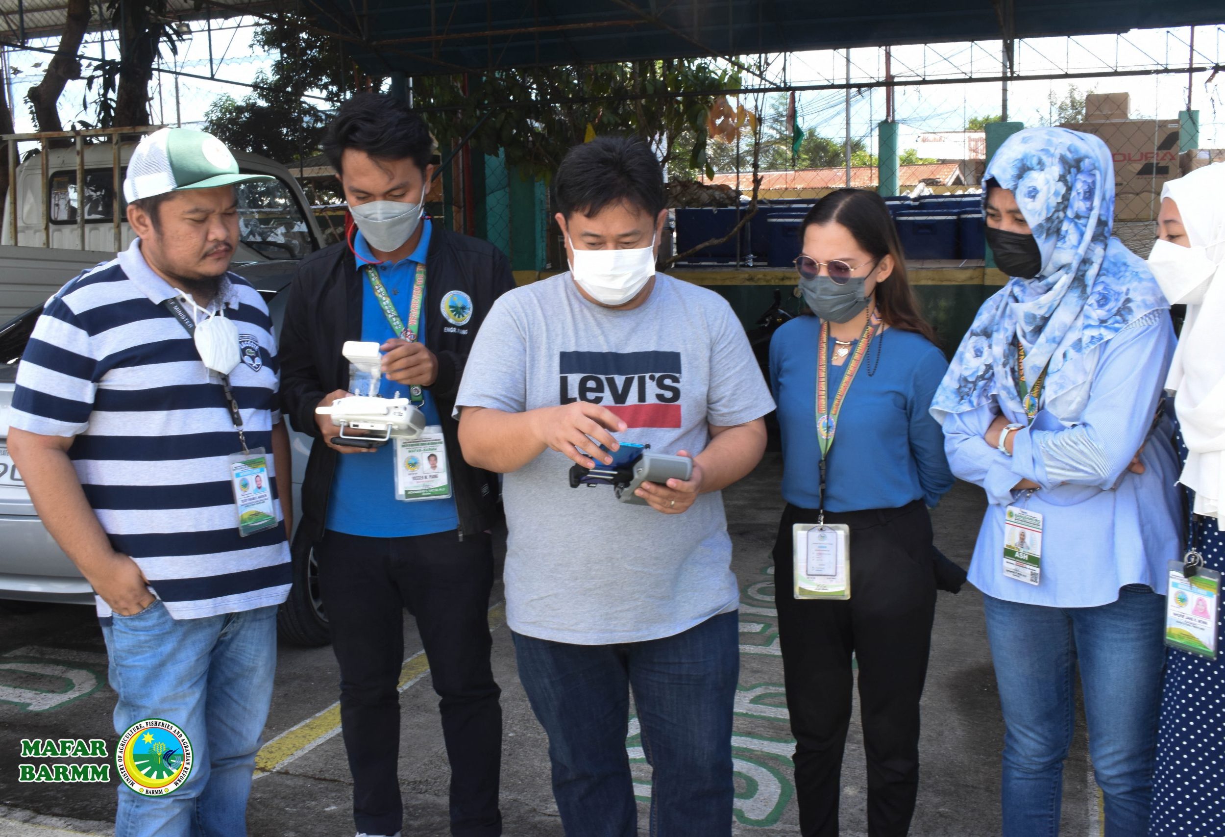
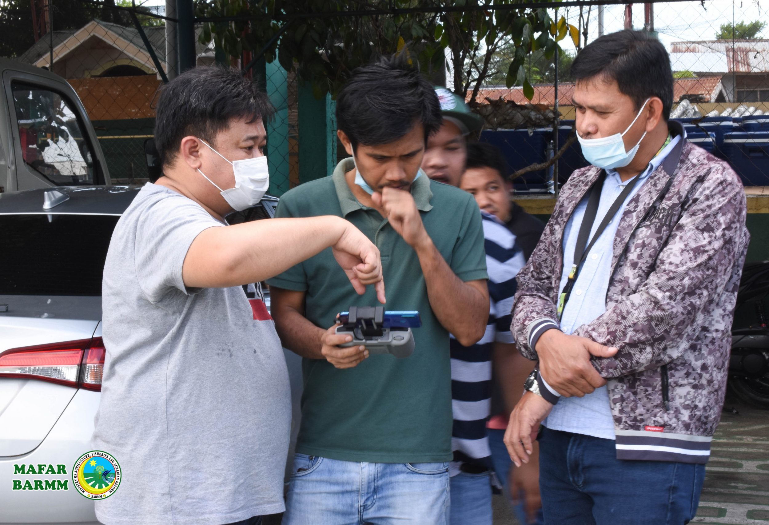
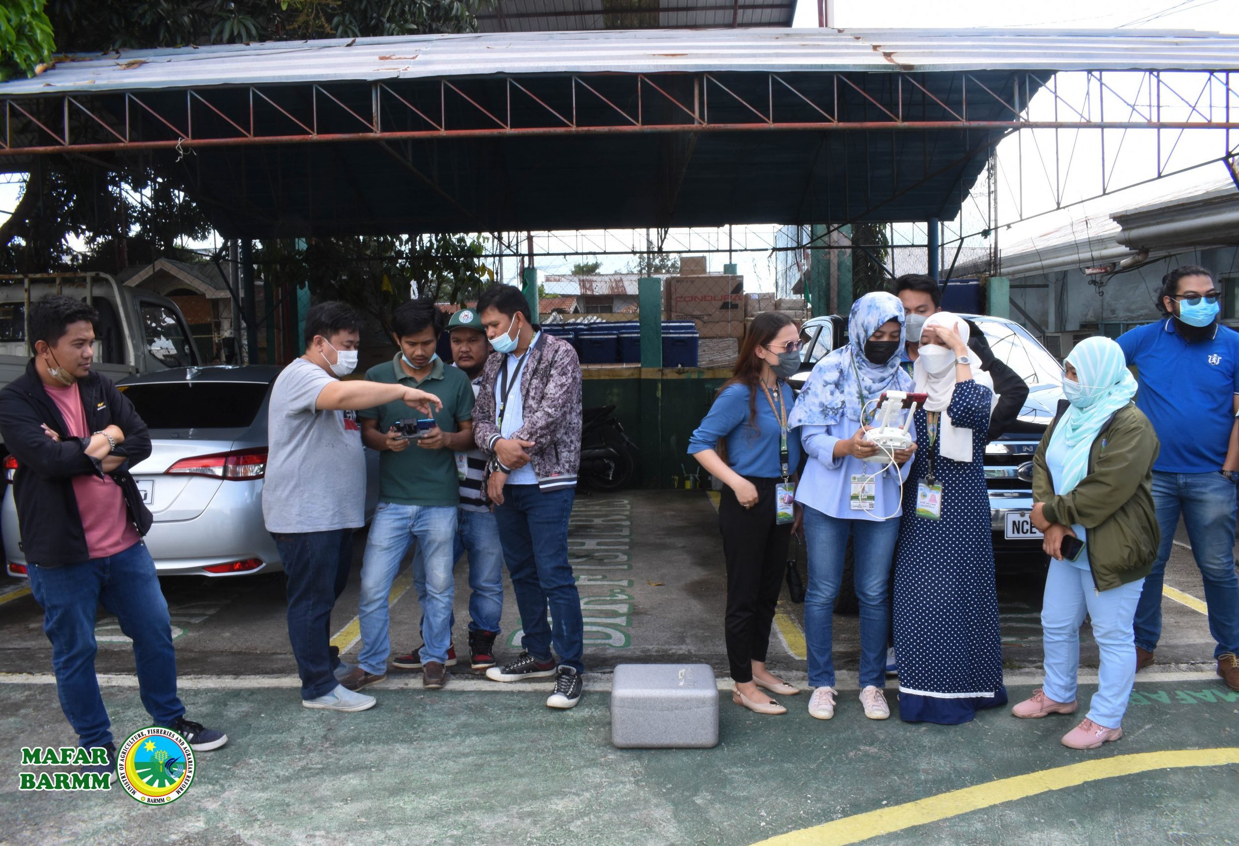
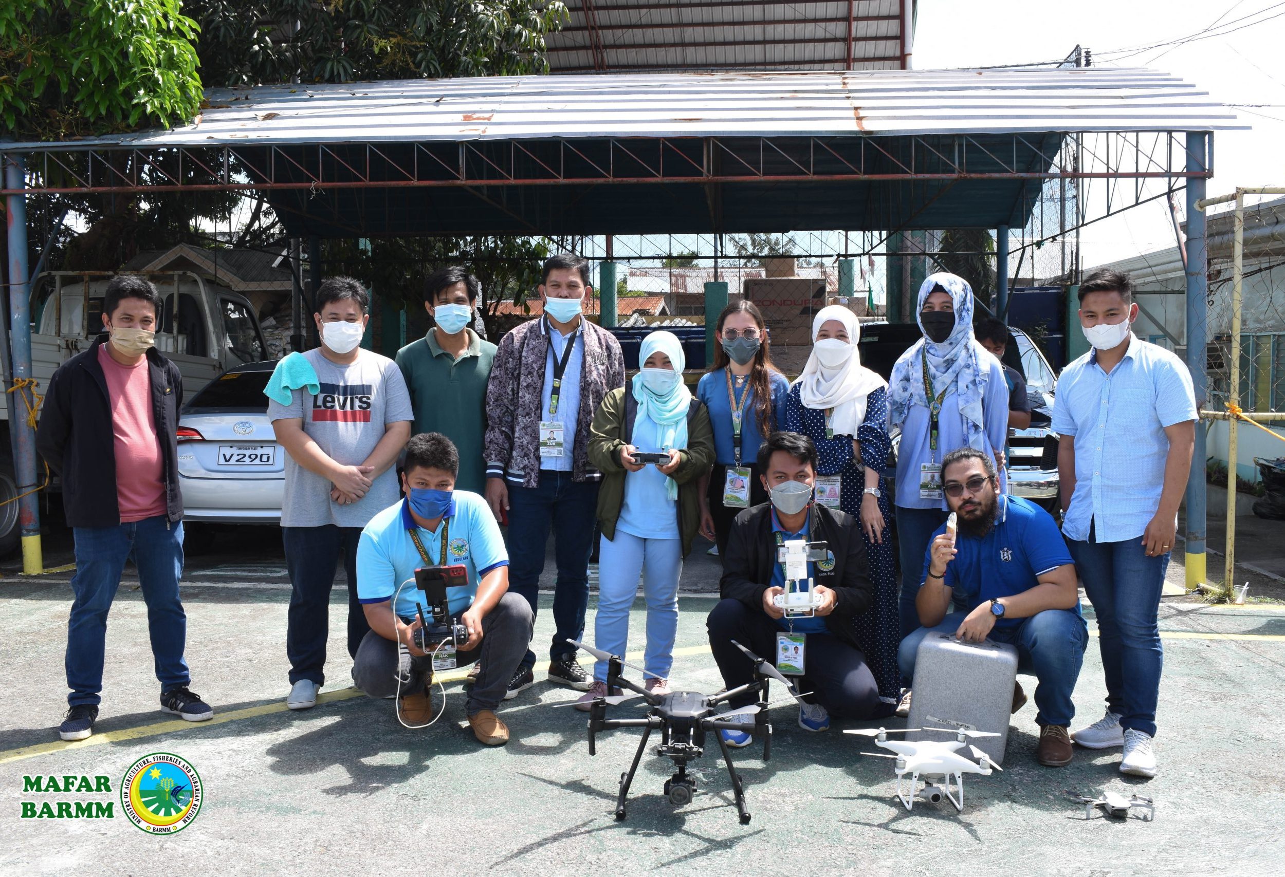
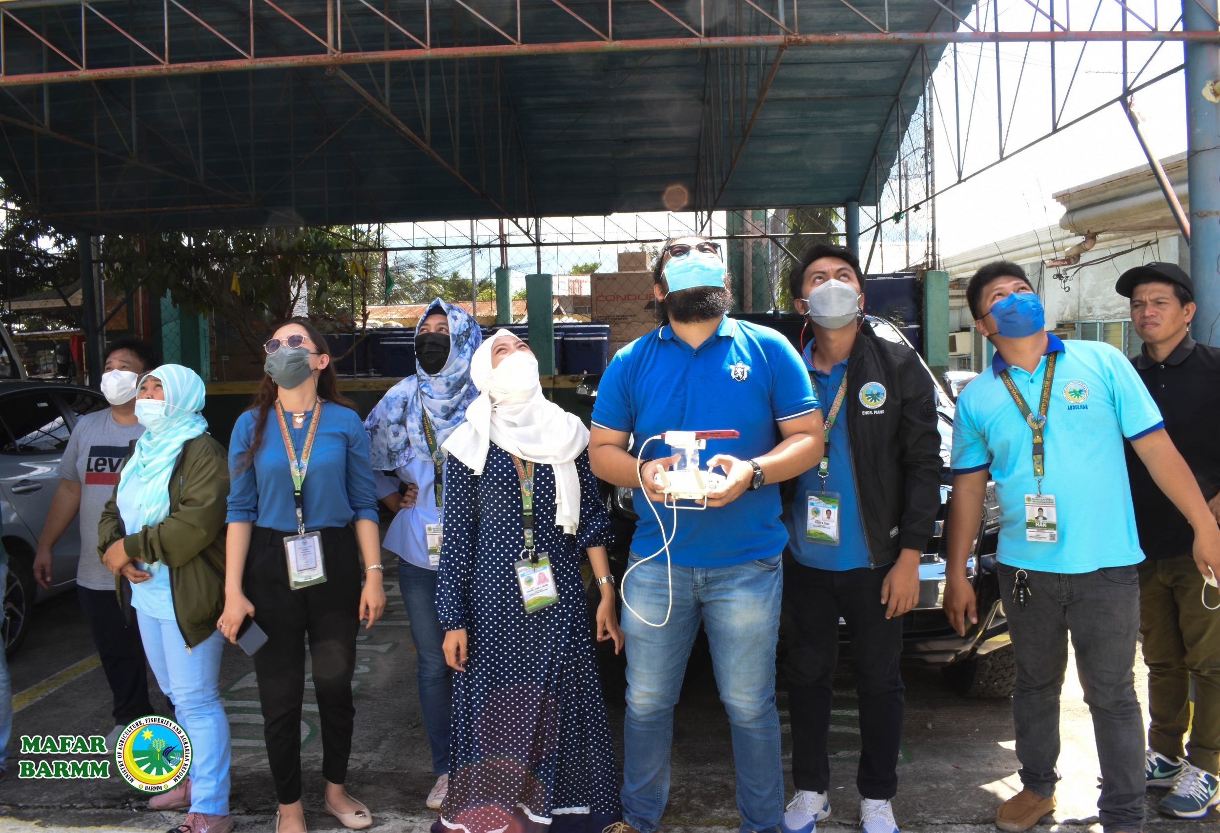
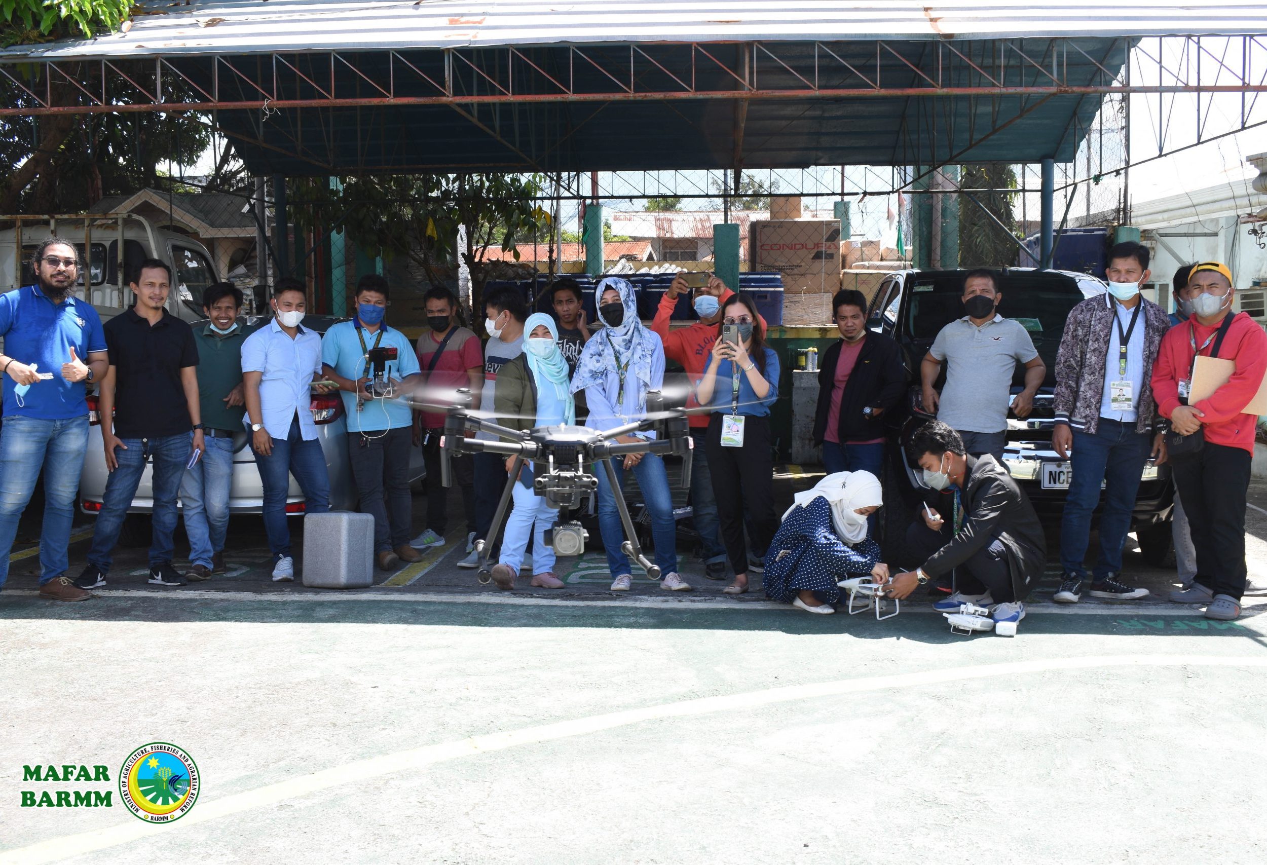
COTABATO CITY- To boost its operations capability, the Ministry of Agriculture, Fisheries, and Agrarian Reform Engineering Section underwent training on Geomatics Engineering and the use of drones.
The training, which runs from January 17 to 18, aims to orient the participants on the importance of geomatics engineering and drone image processing and deployment.
The importance of geomatics engineering is to acquire field data and produce topographic maps, and address them in a geographic information system.
It is also referred to the methods and technologies used in monitoring, planning, validation, and mapping.
Chief Engineer Ashnaira Abdullah has prioritized the training so that the engineers in the regional office will learn more about geomatics engineering.
“In this training, everyone will also be given the opportunity to get hands-on how to operate a drone,” Abdullah said.
Al-Wahab Harun, one of the speakers, said that it is better to establish a spatial system database that will be used for planning and monitoring.
“Not just geotagging but also they have already knowledge on basic GIS operation like creating shapefile, managing attribute table, importing shapefile, kml and CSV file into GIS, geoprocessing tool, layout and now geomatics and drone deployment,” Harun said in a statement.

